Zla Kolata
- Zla Kolata
-
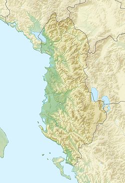
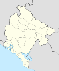
Le Zla Kolata (en serbe : Зла Колата, Zla Kolata) est un sommet des Alpes dinariques, situé à la frontière du Monténégro et de l'Albanie. Il s'agit du point culminant du Monténégro, avec ses 2 534 mètres d'altitude. Le Zla Kolata possède un pic massif et reconnaissable, en faisant une destination touristique majeure dans chacun de ces deux pays.
Voir aussi
Articles connexes
Liens externes
Catégories : - Sommet du Monténégro
- Sommet d'Albanie
- Sommet des Alpes dinariques
- Point culminant d'un pays
Wikimedia Foundation.
2010.
Contenu soumis à la licence CC-BY-SA. Source : Article Zla Kolata de Wikipédia en français (auteurs)
Regardez d'autres dictionnaires:
Zla Kolata — is the highest peak of Montenegro with the height of 2543 m, one of peaks of mountain range Prokletije. It lies on the border with Albania … Wikipedia
Kolata e Mirë — (Albanian: Kolata e Mirë; Montenegrin: Dobra Kolata) is a mountain in the Kolata massif located in Albania and Montenegro. Kolata e Mirë is a part of the Prokletije and stands at 2,528 m (8,294 ft) high. It and Zla Kolata which is… … Wikipedia
Prokletije — Albanian: Bjeshkët e Namuna/Alpet Shqiptare Range … Wikipedia
Dinaric Alps — Dinarides Range … Wikipedia
Montenegro — This article is about the country in Europe. For other uses, see Montenegro (disambiguation) and Crna Gora (disambiguation). Montenegro Црна Гора Crna Gora … Wikipedia
Geography of Montenegro — Map of Montenegro Montenegro (Montenegrin: Crna Gora, Црна Гора meaning black mountain ) is a small, mountainous state in south west Balkans. Montenegro borders Croatia, Bosnia and Herzegovina, Serbia, Albania and the Adriatic Sea. While being a… … Wikipedia
CS-CG — Crna Gora Црна Гора Montenegro … Deutsch Wikipedia
Crna Gora — Црна Гора Montenegro … Deutsch Wikipedia
Monte negro — Crna Gora Црна Гора Montenegro … Deutsch Wikipedia
Montenegro — Crna Gora Црна Гора Montenegro … Deutsch Wikipedia

 Monténégro
 Albanie