Szárliget
- Szárliget
-
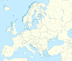
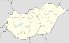
Szárliget est un village et une commune du comitat de Komárom-Esztergom en Hongrie.
Géographie
Cette section est vide, insuffisamment détaillée ou incomplète.
Votre aide est la bienvenue !
Histoire
Cette section est vide, insuffisamment détaillée ou incomplète.
Votre aide est la bienvenue !
Catégorie :
- Ville et village du comitat de Komárom-Esztergom
Wikimedia Foundation.
2010.
Contenu soumis à la licence CC-BY-SA. Source : Article Szárliget de Wikipédia en français (auteurs)
Regardez d'autres dictionnaires:
Szárliget — Infobox Settlement subdivision type = Country subdivision name = HUN timezone=CET utc offset=+1 timezone DST=CEST utc offset DST=+2|official name=Szárliget subdivision type1=County subdivision name1=Komárom Esztergom area total km2=14.56… … Wikipedia
Szarliget — Original name in latin Szrliget Name in other language Ujszar, jszr State code HU Continent/City Europe/Budapest longitude 47.51581 latitude 18.4948 altitude 236 Population 2337 Date 2010 04 07 … Cities with a population over 1000 database
European walking route E4 — is one of the European long distance paths starting in Spain at its southernmost point and leading through France, Switzerland, Germany, Austria, Hungary, Romania and Bulgaria to end in Greece. It visits the Greek islands of Crete and Cyprus.Its… … Wikipedia
Komárom-Esztergom County — Infobox Hungarian county name =Komárom Esztergom region =Central Transdanubia seat = Tatabánya area = 2265 population = 319,000 density = 142 cities = 76Komárom Esztergom is the name of an administrative county (comitatus or megye) in northern… … Wikipedia
Tatabánya — Infobox Settlement image caption = County hall image shield = Tatabánya címere új.jpg subdivision type = Country subdivision name = HUN timezone=CET utc offset=+1 timezone DST=CEST utc offset DST=+2 pushpin pushpin label position = pushpin map… … Wikipedia
Oroszlány — Aerial view … Wikipedia
Dorog — Town … Wikipedia
Nyergesújfalu — Nyergesújfalu … Wikipedia
Countrywide Blue Tour in Hungary — The route of the Countrywide Blue Tour in Hungary The Countrywide Blue Tour (in Hungarian: Országos Kéktúra, Kéktúra or simply OKT) is a part of the Hungarian section of the European Long Distance Walking Route E4. The route starts atop the… … Wikipedia
HU-TB — Tatabánya Landkarte Stadtwappen Basisdaten Staa … Deutsch Wikipedia

 Hongrie


