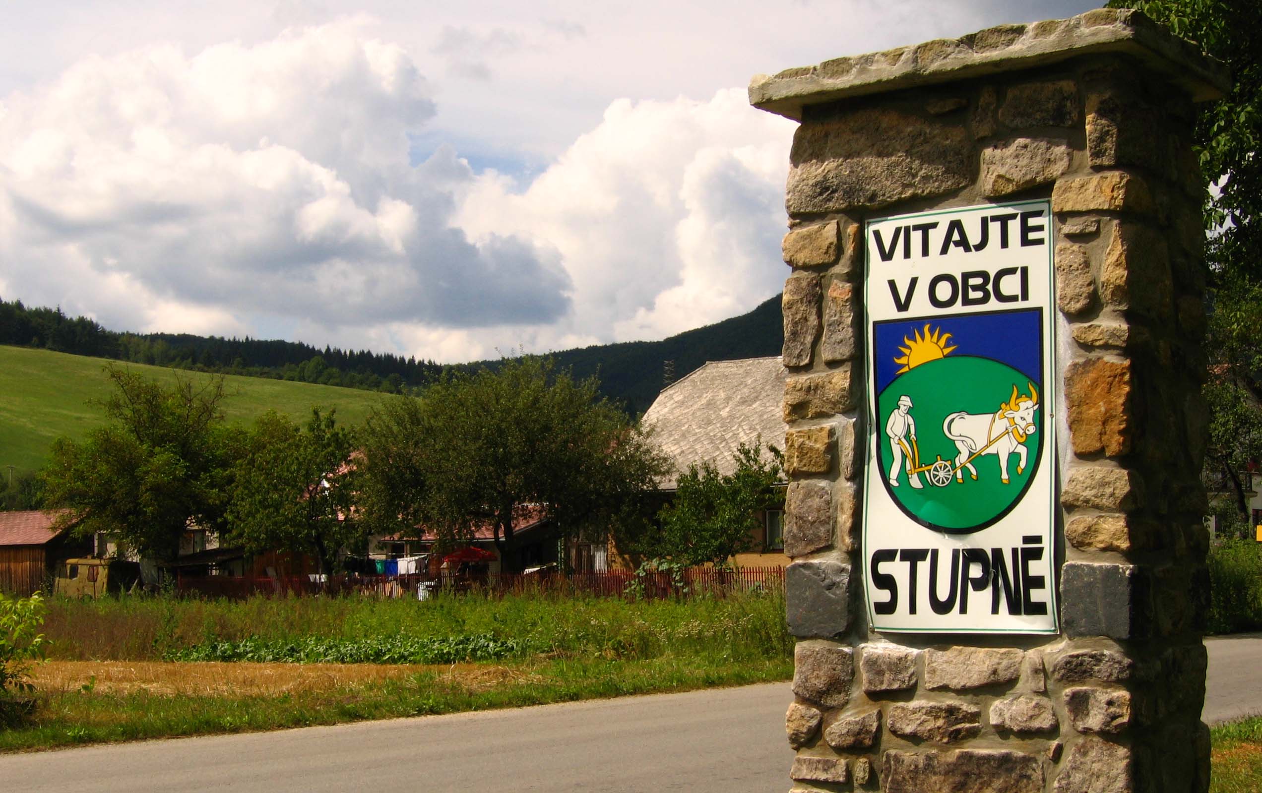
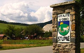
Stupné
- Stupné
-
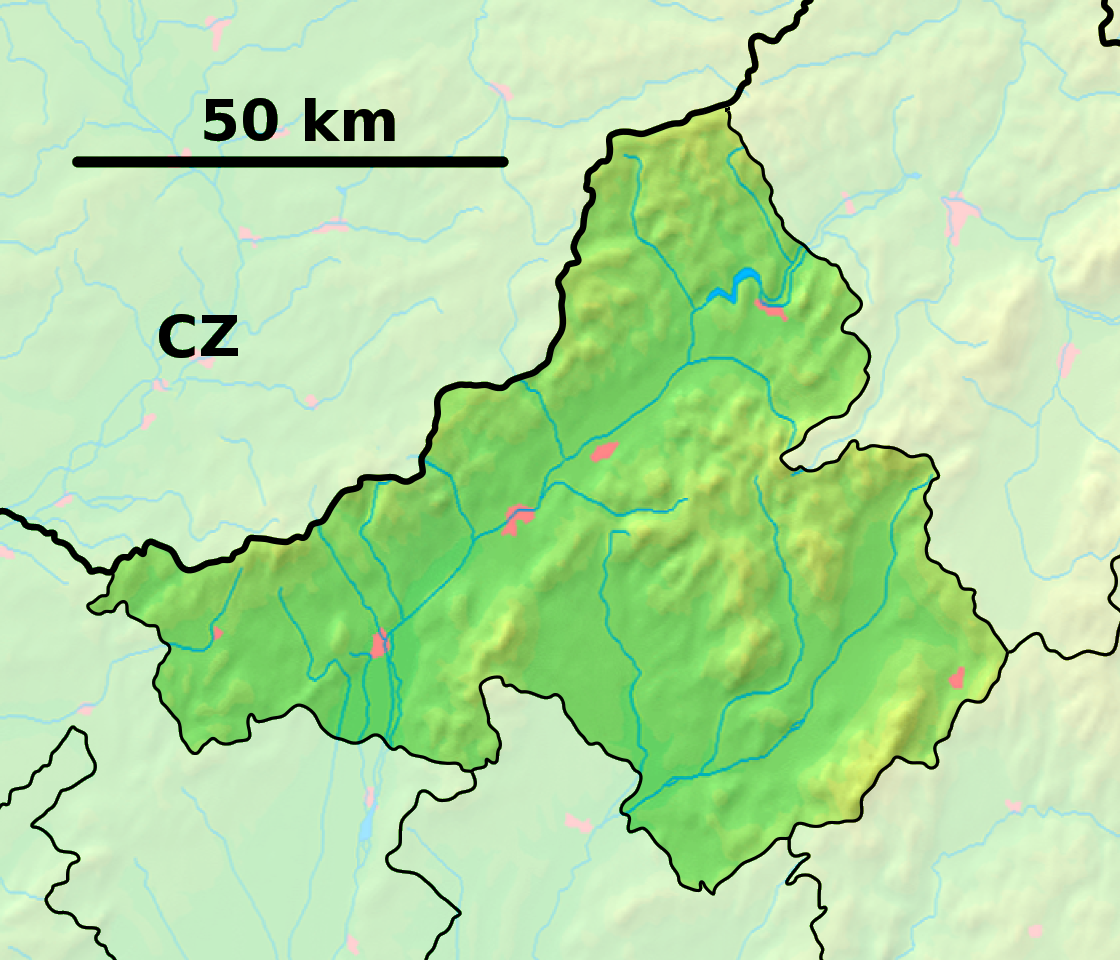
Stupné (hongrois : Osztopna)[4] est un village de Slovaquie situé dans la région de Trenčín.
Histoire
La première mention écrite du village date de 1416[2].
Notes et références
Catégories :
- Village de Slovaquie
- Village et ville du district de Považská Bystrica
Wikimedia Foundation.
2010.
Contenu soumis à la licence CC-BY-SA. Source : Article Stupné de Wikipédia en français (auteurs)
Regardez d'autres dictionnaires:
Stupné — Geobox | Settlement name = Stupné other name = category = Village image caption = symbol = etymology = official name = motto = nickname = country = Slovakia country state = region = Trenčín district = Považská Bystrica commune = municipality =… … Wikipedia
Таблица административных единиц по странам — Административно территориальное деление стран мира. В приведённой ниже таблице указаны типы и, если известно, количество административных единиц в настоящее время (с … Википедия
Генов, Явор Бориславов — Эта страница требует существенной переработки. Возможно, её необходимо викифицировать, дополнить или переписать. Пояснение причин и обсуждение на странице Википедия:К улучшению/30 октября 2012. Дата постановки к улучшению 30 октября 2012. Явор… … Википедия
Trenčín Region — Geobox | Region name = Trenčín other name = category = Region image caption = image caption = symbol = Trencin coat of arms.gif symbol type = Coat of arms etymology = official name = motto = nickname = country = Slovakia country state = region =… … Wikipedia
Jana Hybášková — (born on 26 June 1965 in Prague)is a Czech politician and Member of the European Parliamentwith the European Democrats,part of the European People s Party and sits onthe European Parliament s Committee on Development.She is a substitute for the… … Wikipedia
Považská Bystrica District — District Country Slovakia … Wikipedia
Districts of the Czech Republic — Also known as Okresy Okresy České Republiky Location Czech Republic … Wikipedia
List of municipalities and towns in Slovakia — Slovakia This is a comprehensive list of municipalities and towns in Slovakia. For lists of towns and municipalities sorted by Regions see the individual articles on Regions. For an outdated list of towns only in Slovakia see also List of towns… … Wikipedia
Čelkova Lehota — Location of Považská Bystrica District in the Trenčín Region … Wikipedia
Dolná Mariková — Location of Považská Bystrica District in the Trenčín Region Dolná Mariková is a village and municipality in Považská Bystrica District in the Trenčín Region of north western Slovakia. History In historical records the … Wikipedia
 Slovaquie
 Stupné