Slopná
- Slopná
-
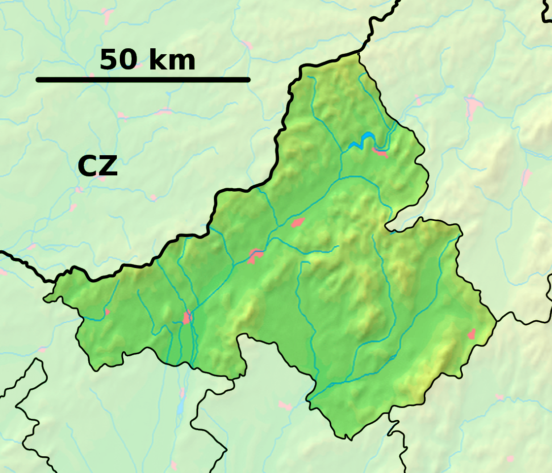
Slopná (hongrois : Szolopna)[4] est un village de Slovaquie situé dans la région de Trenčín.
Histoire
La première mention écrite du village date de 1277[2].
Notes et références
Catégories :
- Village de Slovaquie
- Village et ville du district de Považská Bystrica
Wikimedia Foundation.
2010.
Contenu soumis à la licence CC-BY-SA. Source : Article Slopná de Wikipédia en français (auteurs)
Regardez d'autres dictionnaires:
Slopná — is a village and municipality in Považská Bystrica District in the Trenčín Region of north western Slovakia.HistoryIn historical records the village was first mentioned in 1277.GeographyThe municipality lies at an altitude of 310 metres and… … Wikipedia
Franz Viktor Podolay — Dieser Artikel oder Abschnitt wurde wegen inhaltlicher Mängel auf der Qualitätssicherungsseite des Projekts Bildende Kunst eingetragen. Dies geschieht, um die Qualität der Artikel aus dem Themengebiet Kunst auf ein akzeptables Niveau zu bringen.… … Deutsch Wikipedia
Podolay — Dieser Artikel oder Abschnitt wurde wegen inhaltlicher Mängel auf der Qualitätssicherungsseite des Projekts Bildende Kunst eingetragen. Dies geschieht, um die Qualität der Artikel aus dem Themengebiet Kunst auf ein akzeptables Niveau zu bringen.… … Deutsch Wikipedia
Slopné — Slopné … Deutsch Wikipedia
slôpen — pna o prid. (ȏ) nanašajoč se na slop: slopna širina ♦ arhit. slopne arkade; slopna bazilika bazilika, ki ima namesto stebrov slope … Slovar slovenskega knjižnega jezika
Trenčín Region — Geobox | Region name = Trenčín other name = category = Region image caption = image caption = symbol = Trencin coat of arms.gif symbol type = Coat of arms etymology = official name = motto = nickname = country = Slovakia country state = region =… … Wikipedia
Považská Bystrica District — District Country Slovakia … Wikipedia
List of municipalities and towns in Slovakia — Slovakia This is a comprehensive list of municipalities and towns in Slovakia. For lists of towns and municipalities sorted by Regions see the individual articles on Regions. For an outdated list of towns only in Slovakia see also List of towns… … Wikipedia
Čelkova Lehota — Location of Považská Bystrica District in the Trenčín Region … Wikipedia
Dolná Mariková — Location of Považská Bystrica District in the Trenčín Region Dolná Mariková is a village and municipality in Považská Bystrica District in the Trenčín Region of north western Slovakia. History In historical records the … Wikipedia
 Slovaquie
 Slopná