Soatanana

Soatanana

21° 23′ 17″ S 46° 55′ 00″ E / -21.388, 46.916667

Soatanana
Administration
Pays Drapeau de Madagascar Madagascar
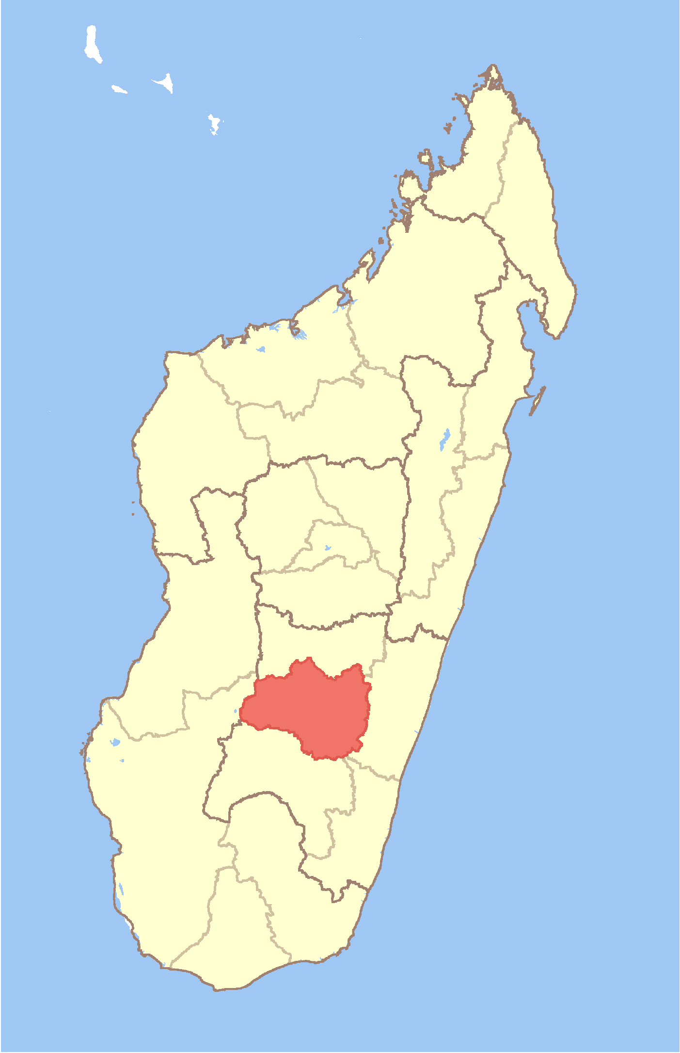
Région Haute Matsiatra
Province Fianarantsoa
District Ambohimahasoa
Géographie
Coordonnées 21° 23′ 17″ Sud
       46° 55′ 00″ Est
/ -21.388, 46.916667
Altitude 1 141 m
Démographie
Population 10000[1] hab. (est. 2001)
Localisation
Madagascar location map.svg
City locator 14.svg

Soatanana est une commune urbaine malgache située dans la partie centre de la région de la Haute Matsiatra.

Sommaire

Géographie

Démographie

Économie

Notes et références

Voir aussi

Articles connexes


Wikimedia Foundation. 2010.

Contenu soumis à la licence CC-BY-SA. Source : Article Soatanana de Wikipédia en français (auteurs)

Игры ⚽ Поможем написать курсовую

Regardez d'autres dictionnaires:

  • Soatanana — Infobox Settlement official name = Soatanana other name = native name = nickname = settlement type = motto = imagesize = image caption = flag size = image seal size = image shield = shield size = image blank emblem = blank emblem type = blank… …   Wikipedia

  • Timeline of Christian missions — This timeline of Christian missions chronicles the global expansion of Christianity through a sampling of missionary outreach events. A more general timeline of Christianity and History of Christianity is also available. Apostolic Age Earliest… …   Wikipedia

  • Mahazony — Mahazony …   Wikipedia

  • Manamisoa — Manamisoa …   Wikipedia

  • Miarinarivo, Ambalavao — Miarinarivo …   Wikipedia

  • Manandroy — Manandroy …   Wikipedia

  • Morafeno, Ambohimahasoa — Morafeno …   Wikipedia

  • Mahaditra — Mahaditra …   Wikipedia

  • Mahasoabe, Fianarantsoa II — Mahasoabe …   Wikipedia

  • Mahatsinjony — Mahatsinjony …   Wikipedia

Share the article and excerpts

Direct link
Do a right-click on the link above
and select “Copy Link”