Pliešovce

Pliešovce
Pliešovce
(Village)
Administration
Pays Drapeau de Slovaquie Slovaquie
Région Région de Banská Bystrica
District District de Zvolen
Code postal 962 63
Plaque minéralogique ZV
Starosta (maire) Štefan Sýkora ( Indépendant )

Mandat: 2013

Démographie
Population 2 290 hab. (31.12.2008)
Densité 40,7 hab./km2
Géographie
Coordonnées 48° 25′ 00″ Nord
       19° 09′ 30″ Est
/ 48.416667, 19.158333
Altitude 633 m
Superficie 5 628,4778 ha = 56,284778 km²
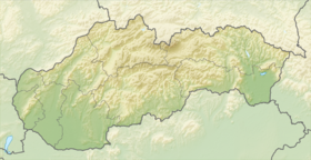
Localisation en Slovaquie
Voir la carte physique
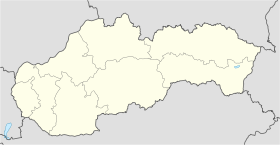
Localisation de la ville
Pliešovce
Voir la carte administrative
Localisation de la ville
Pliešovce
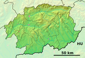
Localisation dans la région de Banská Bystrica
Voir la carte physique
Localisation de la ville
Pliešovce
Voir la carte administrative
Localisation de la ville
Pliešovce
Internet
Site de la commune http://www.pliesovce.sk
Sources
Resultat des élections
http://www.e-obce.sk [1]
http://www.statistics.sk [2]
http://www.slovakregion.sk/ [3]


Pliešovce (allemand : Pleischwitz, hongrois : Tótpelsőc)[4] est un village de Slovaquie situé dans la région de Banská Bystrica.

Histoire

La première mention écrite du village date de 1332[2].

Notes et références

  1. (sk) e-obce.sk. Consulté le 11 février 2010
  2. a et b (sk) (en) Mestská a obecná štatistika SR. Consulté le 11 février 2010
  3. (sk) Slovak region. Consulté le 11 février 2010
  4. (sk) Slovenské slovníky. Consulté le 7 février 2010


Wikimedia Foundation. 2010.

Contenu soumis à la licence CC-BY-SA. Source : Article Pliešovce de Wikipédia en français (auteurs)

Игры ⚽ Нужно сделать НИР?

Regardez d'autres dictionnaires:

  • Pliešovce — Wappen Karte …   Deutsch Wikipedia

  • Pliešovce — ( de. Deutschpelsätz; hu. Tótpelsőc) is a village and municipality of the Zvolen District in the Banská Bystrica Region of Slovakia …   Wikipedia

  • Huize Zwaluw - Lastovicka — (Pliešovce,Словакия) Категория отеля: Адрес: Pliesovce, 96263 Pliešovce …   Каталог отелей

  • Krupinica — Karpfenbach, Korpona Die Krupinica zwischen Babiná und KrupinaVorlage:Infobox Fluss/KARTE fehlt Daten …   Deutsch Wikipedia

  • Naturism Camping Dobra Luka — (Pliešovce,Словакия) Категория отеля: Адрес: Zaježová 66 , 96263 Pliešo …   Каталог отелей

  • Lešť — Wappen Karte …   Deutsch Wikipedia

  • Divisions of the Carpathians — Map of the main divisions of the Carpathians. 1. Outer Western Carpathians 2. Inner Western Carpathians 3. Outer Eastern Carpathians 4. Inner Eastern Carpathians 5. Southern Carpathians 6. Western Romanian Carpathians 7. Transylvanian Plateau 8.… …   Wikipedia

  • Zvolen District —   District   Country Slovakia Region ( …   Wikipedia

  • Dobrá Niva — Zvolen District in the Banská Bystrica region Dobrá Niva (German: Dobring; Hungarian: Dobronya) is a village and municipality of the Zvolen District in the Banská Bystrica Region of Slovakia. The village has a …   Wikipedia

  • Michalková — Zvolen District in the Banska region Michalková is a village and municipality of the Zvolen District in the Banská Bystrica Region of Slovakia …   Wikipedia

Share the article and excerpts

Direct link
Do a right-click on the link above
and select “Copy Link”