Nitrianske Hrnčiarovce
- Nitrianske Hrnčiarovce
-
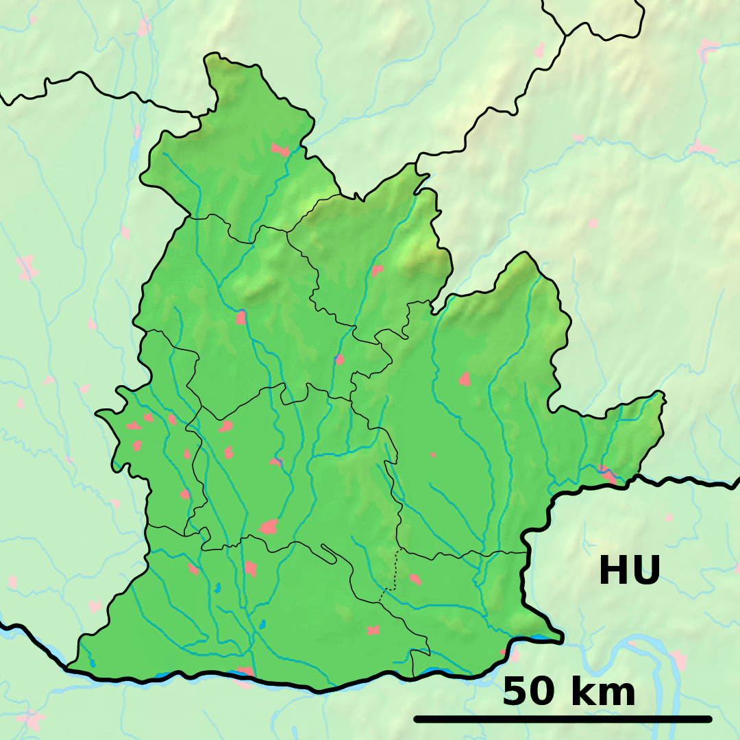
Nitrianske Hrnčiarovce est un village de Slovaquie situé dans la région de Nitra.
Histoire
Première mention écrite du village en 1113.
Notes et références
Catégories :
- Village de Slovaquie
- Village et ville du district de Nitra
Wikimedia Foundation.
2010.
Contenu soumis à la licence CC-BY-SA. Source : Article Nitrianske Hrnčiarovce de Wikipédia en français (auteurs)
Regardez d'autres dictionnaires:
Nitrianske Hrnčiarovce — Wappen Karte … Deutsch Wikipedia
Nitrianske Hrnčiarovce — Nitra district in the Nitra region Nitrianske Hrnčiarovce (Hungarian: Nyitragerencsér) is a village and municipality in the Nitra District in western central Slovakia, in the Nitra Region. Content … Wikipedia
Nitra — Wappen Karte … Deutsch Wikipedia
List of municipalities and towns in Slovakia — Slovakia This is a comprehensive list of municipalities and towns in Slovakia. For lists of towns and municipalities sorted by Regions see the individual articles on Regions. For an outdated list of towns only in Slovakia see also List of towns… … Wikipedia
Liste der Städte und Gemeinden in der Slowakei/M-R — Übersicht M bis R Teil 1 A bis G Teil 2 H bis Ľ Teil 3 M bis R Teil 4 S bis Ž Übersicht M N Ň O P R M Städte und Gemeinden in der Slowakei … Deutsch Wikipedia
Liste der Städte und Gemeinden in der Slowakei Teil 3 — Übersicht M bis R Teil 1 A bis G Teil 2 H bis Ľ Teil 3 M bis R Teil 4 S bis Ž Übersicht M N Ň O P R M Städte und Gemeinden in der Slowakei … Deutsch Wikipedia
Nitra — If you were looking for a chemical, see nitre or nitro. Coordinates: 48°18′25″N 18°05′11″E / 48.30694°N 18.08639°E / 48.30694; 1 … Wikipedia
District de Nitra — Nitra Informations Pays … Wikipédia en Français
Nitra Region — Coordinates: 48°18′25″N 18°05′11″E / 48.30694°N 18.08639°E / 48.30694; 18.08639 … Wikipedia
Kőszeg — Infobox Settlement image caption = Aerial view subdivision type = Country subdivision name = HUN timezone=CET utc offset=+1 timezone DST=CEST utc offset DST=+2 pushpin pushpin label position = pushpin map caption =Location of Kőszeg pushpin… … Wikipedia
 Slovaquie
 Nitrianske Hrnčiarovce