Jelšovce
- Jelšovce
-
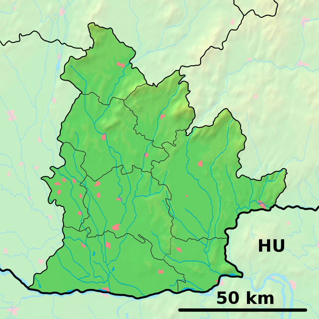
Jelšovce est un village de Slovaquie situé dans la région de Nitra.
Histoire
Première mention écrite du village en 1326.
Notes et références
Catégories :
- Village de Slovaquie
- Village et ville du district de Nitra
Wikimedia Foundation.
2010.
Contenu soumis à la licence CC-BY-SA. Source : Article Jelšovce de Wikipédia en français (auteurs)
Regardez d'autres dictionnaires:
Jelšovce — ( hu. Nyitraegerszeg) is a village and municipality in the Nitra District in western central Slovakia, in the Nitra Region.HistoryIn historical records the village was first mentioned in 1326.GeographyThe village lies at an altitude of 146 metres … Wikipedia
District de Nitra — Nitra Informations Pays … Wikipédia en Français
Ligne 140 (Chemin de fer Slovaque) — Ligne 140 Ligne de Nové Zámky à Prievidza Carte de la ligne Pays … Wikipédia en Français
Nitra — If you were looking for a chemical, see nitre or nitro. Coordinates: 48°18′25″N 18°05′11″E / 48.30694°N 18.08639°E / 48.30694; 1 … Wikipedia
Nitra Region — Coordinates: 48°18′25″N 18°05′11″E / 48.30694°N 18.08639°E / 48.30694; 18.08639 … Wikipedia
Nitra District — District Country Slovakia Regio … Wikipedia
Melek — This article is about the village. For other uses, see Melek (disambiguation). Levice district in the Nitra region Melek is a municipality and village in the Nitra District of the south west of Slovakia, in the Nitra Region … Wikipedia
List of municipalities and towns in Slovakia — Slovakia This is a comprehensive list of municipalities and towns in Slovakia. For lists of towns and municipalities sorted by Regions see the individual articles on Regions. For an outdated list of towns only in Slovakia see also List of towns… … Wikipedia
Čifáre — Nitra district in the Nitra region Čifáre (Hungarian: Csiffár) is a village and municipality in the Nitra District in western central Slovakia, in the Nitra Region. Contents … Wikipedia
Dolné Lefantovce — Nitra district in the Nitra region Dolné Lefantovce is a village and municipality in the Nitra District in western central Slovakia, in the Nitra Region. Geography The village lies at an altitude of about 160 metres and covers an are … Wikipedia
 Slovaquie
 Jelšovce