- Miller Landing (Alaska)
-
Miller Landing 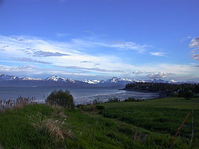
Millers LandingAdministration Pays  États-Unis
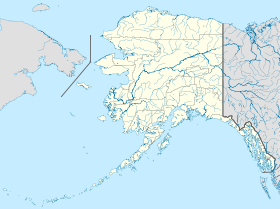
État  Alaska
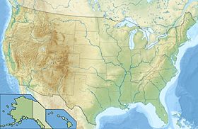
Borough Borough de la péninsule de Kenai Code FIPS 02-49435 Démographie Population (2000) 74 hab. Densité 106 hab./km² Géographie Coordonnées Superficie totale 0,7 km2 · dont terre 0,7 km2 (100 %) · dont eau 0 km2 (0 %) Fuseau horaire AKST (UTC-9) 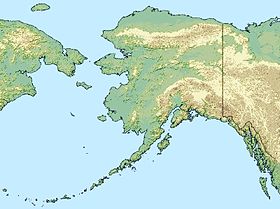


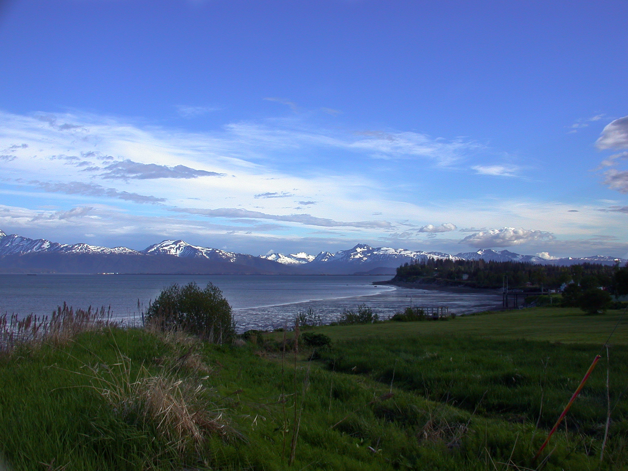
Miller Landing est une localité d'Alaska (CDP) aux États-Unis, appartenant au Borough de la péninsule de Kenai. Sa population était de 74 habitants en 2000.
Son nom lui vient de Charles Miller qui s'est installé là en 1915. C'était un employé de l'Alaska Railroad. Il avait installé un embarcadère dans une crique de la baie Kachemak, où il approvisionnait les bateaux qui venaient de Seldovia[1].
Notes et références
- (en) A history of Kachemak Bay - Janet Klein - 1981 - Society of Natural History Homer
- (en) Cet article est partiellement ou en totalité issu de l’article de Wikipédia en anglais intitulé « Miller Landing, Alaska » (voir la liste des auteurs)


Wikimedia Foundation. 2010.