- Mahazoma
-
Mahazoma Administration Pays  Madagascar
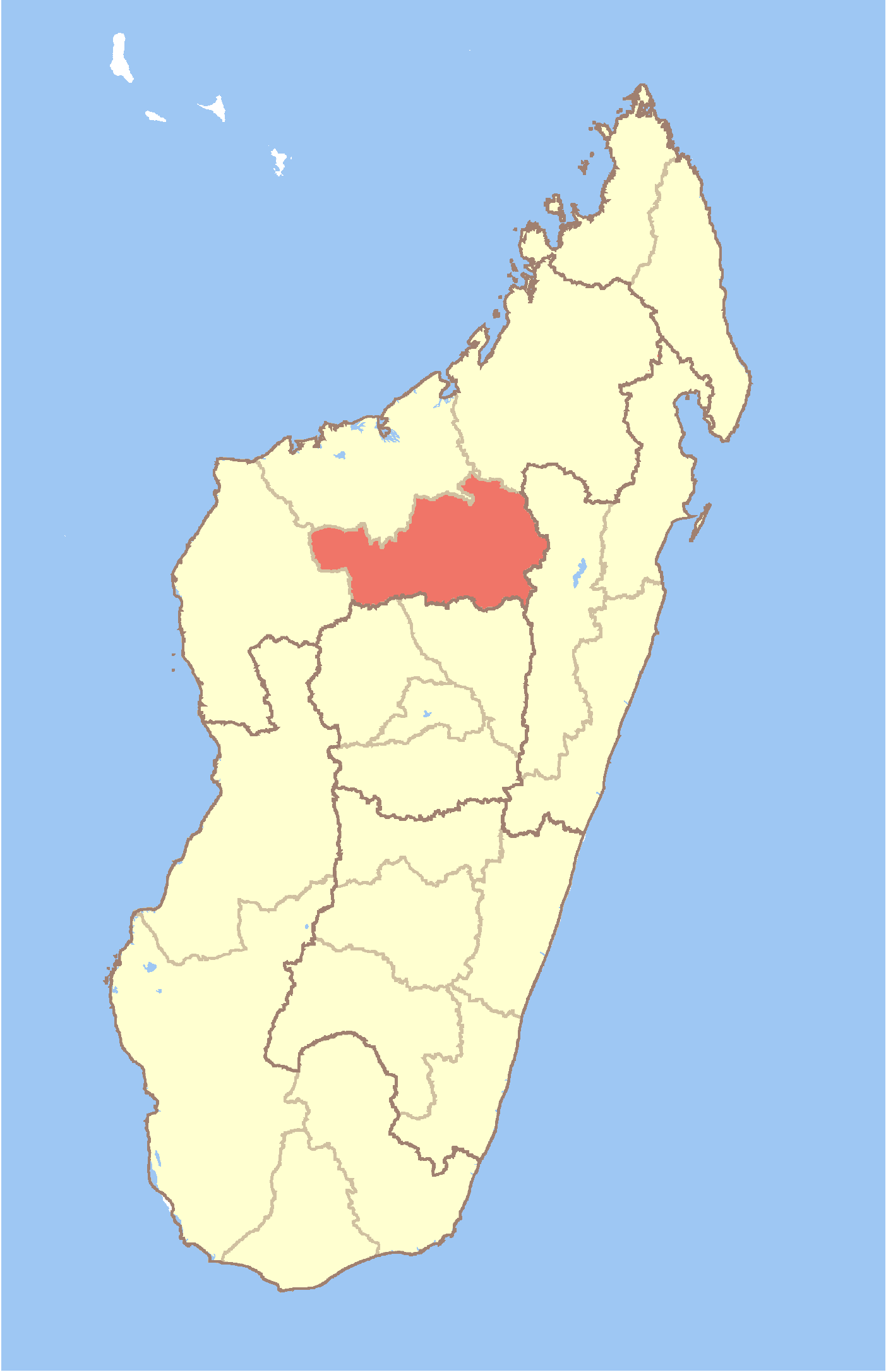
Région Betsiboka Province Mahajanga District Maevatanana Géographie Coordonnées Altitude 81 m Démographie Population 18000[1] hab. (est. 2001) Localisation 

Mahazoma est une commune urbaine malgache située dans la partie nord-ouest de la région de Betsiboka.
Sommaire
Géographie
Démographie
Économie
Notes et références
Voir aussi
Articles connexes
Catégories :- Ville de Madagascar
- Province de Majunga
- Commune de la région de Betsiboka

Wikimedia Foundation. 2010.