- Loch Tummel
-
Loch Tummel 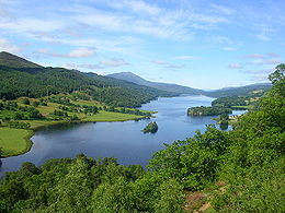
Loch TummelAdministration Pays  Royaume-Uni
Province  Écosse
Géographie Latitude
LongitudeLongueur 11 km Largeur 1 km Profondeur
· Moyenne
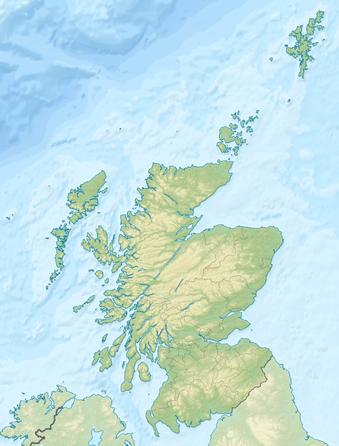
40 mGéolocalisation sur la carte : Royaume-Uni


Géolocalisation sur la carte : Écosse

modifier 
Loch Tummel (en gaélique Loch Teimhil) est un loch long et étroit, à 7 km au nord-ouest de Pitlochry en Perth and Kinross, en Écosse[1].
Sommaire
Géographie
Le loch fait environ 11 km de long d'est en ouest, et un peu moins d'1 km de large. Il est intégré au Tummel Hydro-Electric Power Scheme quand le barrage de Clunie a été construit par Wimpey Construction à son extrémité est en 1950, provoquant une élévation du niveau de l'eau de 4,5 m. Le loch est longé par des routes, sur ces rives nord et sud, et desquelles on a une belle vue sur la campagne environnante. Le panorama le plus connu est le "Queens view", à partir de la rive nord, que la reine Victoria a rendu célèbre en 1866. Ce panorama pourrait également tenir son nom d'Isabelle de Mar, femme de Robert Ier d'Écosse[2].
Juste en amont du loch, Tummel Bridge qui traverse la Tummel, comporte deux ponts. Le pont d'origine a été construit sous la direction de George Wade en 1730.
Loisirs
Le loch est réputé pour les pêcheurs, notamment pour ses truites. De nombreux campeurs s'y rendent également l'été.
Le Loch Tummel Sailing Club (LTSC) est basé à Foss sur la rive sud-ouest du loch.
Voir aussi
Notes et références
Catégorie :- Loch d'Écosse


Wikimedia Foundation. 2010.