Krišľovce
- Krišľovce
-
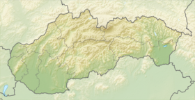
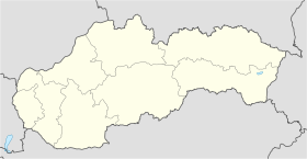
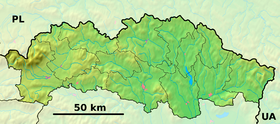
Krišľovce est un village de Slovaquie situé dans la région de Prešov.
Histoire
Première mention écrite du village en 1567.
Notes et références
Catégories :
- Village de Slovaquie
- Village et ville du district de Stropkov
Wikimedia Foundation.
2010.
Contenu soumis à la licence CC-BY-SA. Source : Article Krišľovce de Wikipédia en français (auteurs)
Regardez d'autres dictionnaires:
Krišlovce — is a village and municipality in Stropkov District in the Prešov Region of north eastern Slovakia.HistoryIn historical records the village was first mentioned in 1567.GeographyThe municipality lies at an altitude of 290 metres and covers an area… … Wikipedia
Liste der Städte und Gemeinden in der Slowakei/H-Ľ — Übersicht H bis Ľ Teil 1 A bis G Teil 2 H bis Ľ Teil 3 M bis R Teil 4 S bis Ž Übersicht H CH I J K L Ľ H Städte und Gemeinden … Deutsch Wikipedia
Liste der Städte und Gemeinden in der Slowakei Teil 2 — Übersicht H bis Ľ Teil 1 A bis G Teil 2 H bis Ľ Teil 3 M bis R Teil 4 S bis Ž Übersicht H CH I J K L Ľ H Städte und Gemeinden … Deutsch Wikipedia
Stropkov District — District Country Slovakia Region … Wikipedia
Makovce — Coordinates: 49°16′N 21°45′E / 49.267°N 21.75°E / 49.267; 21.75 … Wikipedia
Chotča — Location of Stropkov District in the Prešov Region. Chotča is a village and municipality in Stropkov District in the Prešov Region of north eastern Slovakia. History In historical records the village … Wikipedia
Duplín — Location of Stropkov District in the Prešov Region. Duplín is a village and municipality in Stropkov District in the Prešov Region of north eastern Slovakia. History In historical records the village … Wikipedia
Malá Poľana — Location of Stropkov District in the Prešov Region. Malá Poľana is a village and municipality in Stropkov District in the Prešov Region of north eastern Slovakia. History In historical records the villa … Wikipedia
Miková — Location of Stropkov District in the Prešov Region. Miková or Mikó (település) in Hungarian, is a village and municipality in the former Eperjes County (http://hu.wikipedia.org/wiki/Eperjesi ker%C3%BClet) of the Kingdom of Hungary. The area was… … Wikipedia
Nižná Olšava — Coordinates: 49°09′N 21°38′E / 49.15°N 21.633°E / 49.15; 21.633 … Wikipedia
 Slovaquie


