Kirchberg an der Raab

Kirchberg an der Raab

46° 59′ 00″ N 15° 46′ 00″ E / 46.9833, 15.7667

Kirchberg an der Raab
Blason absent
Blason inconnu
Aucune image disponible!
Données administratives
Pays Drapeau d'Autriche Autriche
Land Drapeau du Land de Styrie Styrie
District
(Bezirk)
District de Feldbach
Données générales
Code postal A-
Indicatif tél. 43+
Politique
Géographie
Altitude m
Coordonnées 46° 59′ 00″ N 15° 46′ 00″ E / 46.9833, 15.766746° 59′ 00″ Nord
       15° 46′ 00″ Est
/ 46.9833, 15.7667
  

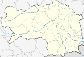
(Voir situation sur la carte de Styrie)

Kirchberg an der Raab

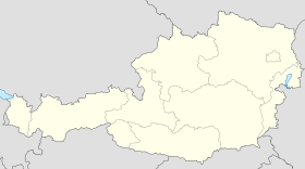
(Voir situation sur une carte d'Autriche)

Localisation de la ville
Kirchberg an der Raab

Kirchberg an der Raab est une commune autrichienne du district de Feldbach en Styrie.

Géographie

Histoire


Wikimedia Foundation. 2010.

Contenu soumis à la licence CC-BY-SA. Source : Article Kirchberg an der Raab de Wikipédia en français (auteurs)

Игры ⚽ Нужно решить контрольную?

Regardez d'autres dictionnaires:

Share the article and excerpts

Direct link
Do a right-click on the link above
and select “Copy Link”