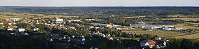
Jennersdorf
Contenu soumis à la licence CC-BY-SA. Source : Article Jennersdorf de Wikipédia en français (auteurs)
Regardez d'autres dictionnaires:
Jennersdorf — Jennersdorf … Deutsch Wikipedia
Jennersdorf — Ciudad de Austria • Latitud 46° 56 N • Longitud 16° 8 E … Wikipedia Español
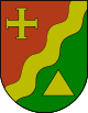
Jennersdorf — Infobox Town AT name=Jennersdorf name local= image coa = 100px Wappen at jennersdorf.jpg state = Burgenland regbzk = district = Jennersdorf population =4255 population as of = 2005 population ref = pop dens = 112 area = 37.92 elevation = 242 lat… … Wikipedia
Jennersdorf — Original name in latin Jennersdorf Name in other language Enersdorf, Gyanafalva, Jennersdorf, Енерсдорф State code AT Continent/City Europe/Vienna longitude 46.93848 latitude 16.14158 altitude 242 Population 4319 Date 2012 02 03 … Cities with a population over 1000 database
Jennersdorf — Sp Jènersdorfas Ap Jennersdorf L mst. ir adm. sr., Austrija … Pasaulio vietovardžiai. Internetinė duomenų bazė
Jennersdorf (Bezirk) — Jennersdorf Informations Pays … Wikipédia en Français
Jennersdorf (district) — Infobox Austrian district subject name = Bezirk Jennersdorf region district region = Burgenland population = 17,933 (2001) prefix = ? area = 253.4 car plate = JE nuts code = ? municipalities = 12 image location = Karte Aut Bgld JE.png Bezirk… … Wikipedia
Jennersdorf — Jẹnnersdorf, 1) Bezirkshauptstadt im südlichen Burgenland, Österreich, im Tal der Raab, 242 m über dem Meeresspiegel, nahe der ungarischen Grenze, 4 300 Einwohner; Handelszentrum, Textil und Bauindustrie. 2) Bezirk im Burgenland, Österreich … Universal-Lexikon
District de Jennersdorf — Jennersdorf Localisation du Bezirk de Jennersdorf dans le Land autrichien de Burgenland Informations Pays … Wikipédia en Français
Rax (Gemeinde Jennersdorf) — Wappen Karte … Deutsch Wikipedia
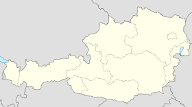
 Autriche
 Burgenland
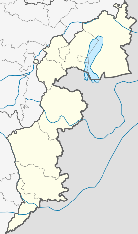

 Jennersdorf


