Itterajivit
- Itterajivit
-
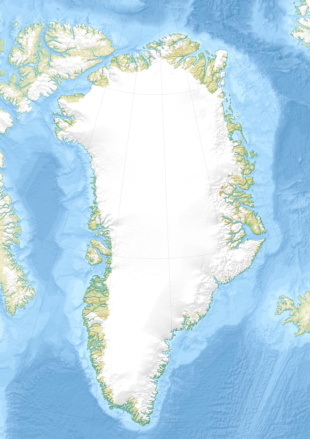
Itterajivit est un ancien village groenlandais aujourd'hui abandonné situé dans la municipalité de Kujalleq près d'Ittoqqortoormiit à l'est du Groenland. Il y avait 9 habitants en 2005, qui pour la plupart vivent désormais à Ittoqqortoormiit.
Wikimedia Foundation.
2010.
Contenu soumis à la licence CC-BY-SA. Source : Article Itterajivit de Wikipédia en français (auteurs)
Regardez d'autres dictionnaires:
Itterajivit — País … Wikipedia Español
Itterajivit — Itterajivit, also Ittaajimmiut, Igterajivit or Kap Hope, is a small village in Greenland with a population of 9 (as of 2005). It is the second remaining populated settlement within Ittoqqortoormiit municipality, located 14 km west of… … Wikipedia
List of towns in Greenland — This is a list of cities, towns and settlements in Greenland.The English term city hardly applies to any populated area in Greenland (although several places in Greenland are considered cities ), as the most populated place is Nuuk with 14,501… … Wikipedia
North Ice — … Wikipedia
Ivittuut — The cryolite mine in Ivittuut in 1940 … Wikipedia
Ittoqqortoormiit — Infobox Settlement name = Ittoqqortoormiit official name = other name = Scoresbysund native name = nickname = settlement type = Town total type = motto = imagesize = 300px image caption = flag size = image seal size = image shield = shield size … Wikipedia
Pituffik — Pituffik … Wikipedia
Liverpool Land — is a land area in East Greenland, bounded by Scoresby Sund in the south, Carlsberg Fjord in the northwest, Kangerterajiva (Hurry Inlet) in the southwest, the Greenland Sea in the east, and Jameson Land in the west. It was named by William… … Wikipedia
Comer's Midden — Created Thule culture Discovered 1916 Present location Near Pituffik, Greenland … Wikipedia
Illoqqortoormiut — Ittoqqortoormiit Scoresbysund Kommune Kommuneqarfik Sermersooq Geographische Lage … Deutsch Wikipedia
 Groenland
 Itterajivit