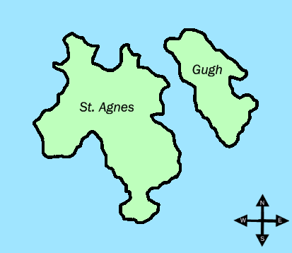
Gugh
Contenu soumis à la licence CC-BY-SA. Source : Article Gugh de Wikipédia en français (auteurs)
Regardez d'autres dictionnaires:
Gugh — Coordinates: 49°53′47″N 6°19′58″W / 49.89626°N 6.33266°W / 49.89626; 06.33266 … Wikipedia
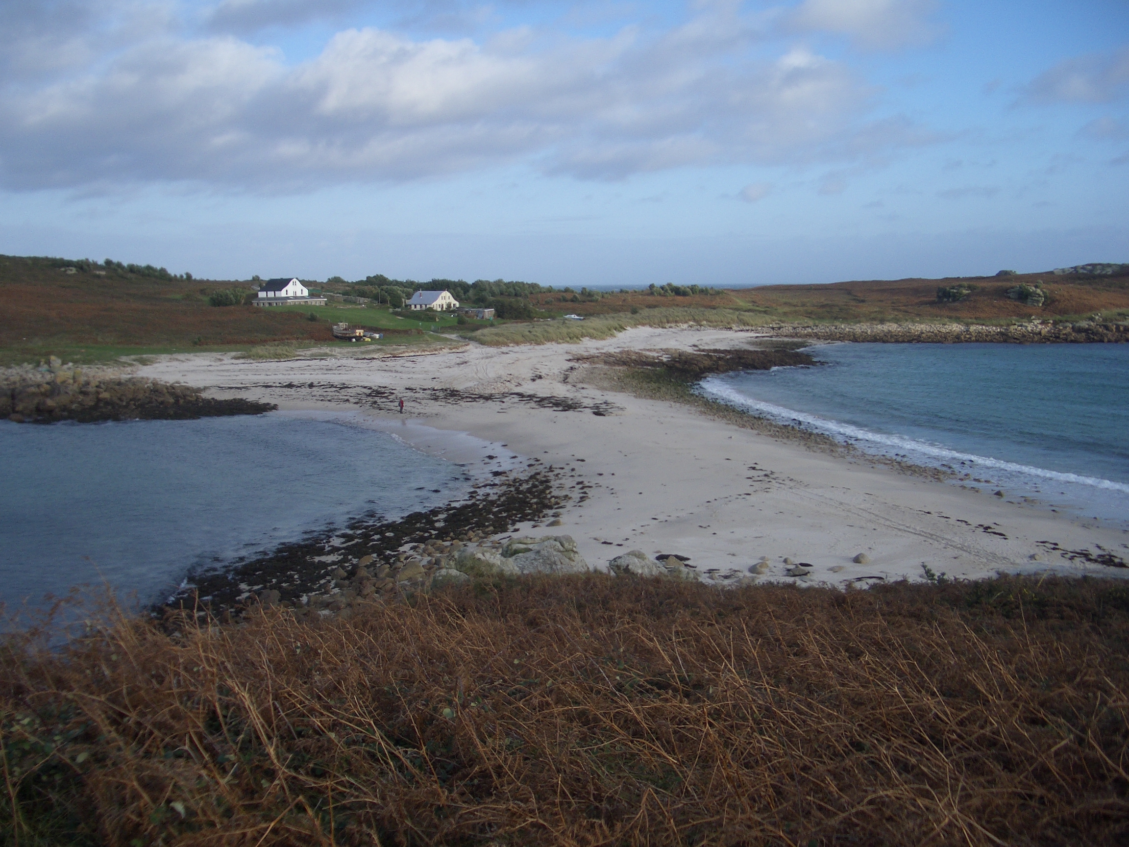
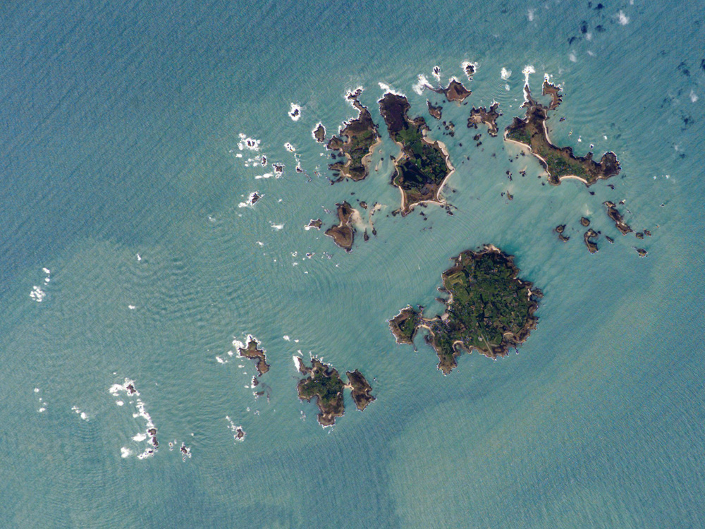
St. Agnes, Isles of Scilly — St Agnes ( kw. Aganas) is the southernmost populated island of the Isles of Scilly, England, United Kingdom. DescriptionSt. Agnes joins the island of Gugh by a tombolo, a kind of sandbar, called the Gugh Bar, which is exposed only at low tide.… … Wikipedia
Isles of Scilly — Scilly redirects here. For the area of Surrey, see Scilly Isles, Surrey. For the atoll in the Society Islands, sometimes called Scilly Atoll, see Manuae (Society Islands). Isles of Scilly Syllan Map of the Isles of Scilly … Wikipedia
Obadiah's Barrow — A view of Obadiah s Barrow Location: Gugh, Cornwall, England … Wikipedia
St Agnes (Sorlingues) — Pour les articles homonymes, voir St Agnes. 49° 53′ 28″ N 6° 20′ 34″ W / … Wikipédia en Français
List of places with fewer than ten residents — This list is incomplete; you can help by expanding it. This is a list of places with a permanent population of fewer than ten people. Some may be virtually deserted and others may be places where people work, but do not live. Contents 1… … Wikipedia
Shoal — Bar (landform) redirects here. For other uses, see Bar (disambiguation)#Landforms. Sandbank redirects here. For other uses, see Sandbank (disambiguation). For other uses, see Shoal (disambiguation). Sandbar between St. Agnes and Gugh on the Isles … Wikipedia
Tidal island — A tidal island is a piece of land that is connected to the mainland by a natural or man made causeway that is exposed at low tide and submerged at high tide. Because of the mystique surrounding tidal islands many of them have been sites of… … Wikipedia
River Fal — Flushing, from Fish Strand Quay, Falmouth, with rainbow Origin Goss Moor Mouth Carrick Roads … Wikipedia
Lesser White-toothed Shrew — Lesser White toothed Shrew[1] Conservation status … Wikipedia
 Gugh et St Agnes.
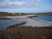 Le banc de sable entre Gugh et St. Agnes.