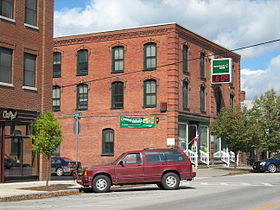
Enosburg Falls
Contenu soumis à la licence CC-BY-SA. Source : Article Enosburg Falls de Wikipédia en français (auteurs)
Regardez d'autres dictionnaires:
Enosburg Falls — Enosburg Falls, VT U.S. village in Vermont Population (2000): 1473 Housing Units (2000): 618 Land area (2000): 3.558212 sq. miles (9.215727 sq. km) Water area (2000): 0.113899 sq. miles (0.294996 sq. km) Total area (2000): 3.672111 sq. miles… … StarDict's U.S. Gazetteer Places
Enosburg Falls, VT — U.S. village in Vermont Population (2000): 1473 Housing Units (2000): 618 Land area (2000): 3.558212 sq. miles (9.215727 sq. km) Water area (2000): 0.113899 sq. miles (0.294996 sq. km) Total area (2000): 3.672111 sq. miles (9.510723 sq. km) FIPS… … StarDict's U.S. Gazetteer Places
Enosburg Falls — Original name in latin Enosburg Falls Name in other language State code US Continent/City America/New York longitude 44.90699 latitude 72.80652 altitude 129 Population 1329 Date 2011 05 14 … Cities with a population over 1000 database
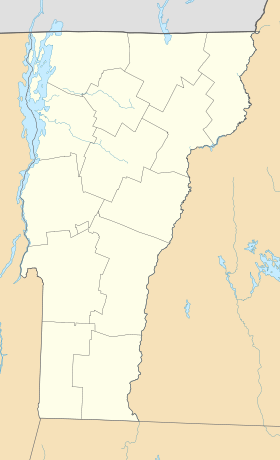
Enosburg Falls, Vermont — Infobox Settlement official name = Enosburg Falls, Vermont settlement type = Village nickname = motto = imagesize = image caption = image |pushpin pushpin label position =left pushpin map caption =Location within the state of Vermont pushpin… … Wikipedia
St. John's Episcopal Church (Highgate Falls, Vermont) — Infobox nrhp name =St. John s Episcopal Church Highgate Falls Highgate, Vermont nrhp type = |thumb caption = location = Highgate Falls Village Green Highgate, Vermont nearest city = lat degrees = lat minutes = lat seconds = lat direction = long… … Wikipedia
05450 — Enosburg Falls, Vt (Miscellaneous » ZIP Codes) … Abbreviations dictionary
Historical U.S. Census totals for Franklin County, Vermont — This article shows U.S. Census totals for Franklin County, Vermont, broken down by municipality, from 1900 to 2000.Most areas of New England are entirely divided into incorporated municipalities, with no unincorporated territory. In the three… … Wikipedia
National Register of Historic Places listings in Franklin County, Vermont — Location of Franklin County in Vermont This is a list of the National Register of Historic Places listings in Franklin County, Vermont. This is intended to be a complete list of the properties and districts on the National Register of Historic… … Wikipedia
Bahnstrecke St. Albans–Richford — St. Albans VT– Richford VT[1] Streckenlänge: 44,22 km Spurweite: 1435 mm (Normalspur) Legende … Deutsch Wikipedia
Enosburgh — Enosburgh … Deutsch Wikipedia
 États-Unis
 Vermont