Dupilo
- Dupilo
-
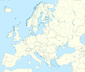
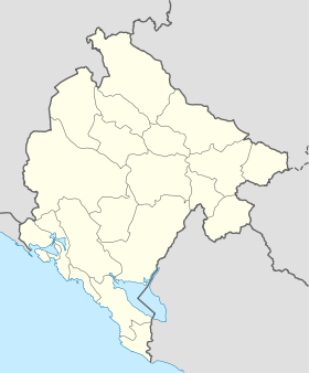
Dupilo (en serbe cyrillique : Дупило) est un village du sud du Monténégro, dans la municipalité de Bar.
Démographie
Évolution historique de la population
Évolution démographique
(Source : [1])
| 1948 |
1953 |
1961 |
1971 |
1981 |
1991 |
2003 |
| 238 |
245 |
228 |
145 |
115 |
40 |
64 |
Pyramide des âges (2003)
| Pyramide des âges de la ville de Dupilo |
Pyramide des âges de la ville de Dupilo en 2003 (population totale : 64)[2] :
| Hommes |
Classe d'âge |
Femmes |
|
2
|
? |
0
|
|
0
|
80 et plus |
3
|
|
2
|
75-79 |
2
|
|
2
|
70-74 |
5
|
|
3
|
65-69 |
3
|
|
0
|
60-64 |
2
|
|
2
|
55-59 |
2
|
|
2
|
50-54 |
1
|
|
1
|
45-49 |
0
|
|
4
|
40-44 |
1
|
|
2
|
35-39 |
3
|
|
1
|
30-34 |
3
|
|
0
|
25-29 |
1
|
|
2
|
20-24 |
1
|
|
1
|
15-19 |
1
|
|
4
|
10-14 |
2
|
|
1
|
5-9 |
3
|
|
1
|
0-4 |
1
|
|
Répartition de la population par nationalités (2003)
Source[3]
| Répartition de la population par nationalités |
Nombre |
% |
| Monténégrins |
56 |
87,50 |
| Serbes |
7 |
10,94 |
| Inconnus/Autres |
1 |
1,56 |
Notes et références
- ↑ (sr) Књига 9, Становништво, упоредни преглед броја становника 1948, 1953, 1961, 1971, 1981, 1991, 2003, подаци по насељима, Републички завод за статистику, Подгорица, септембар 2005, COBISS-ID 8764176
- ↑ (sr) Књига 2, Становништво, пол и старост, подаци по насељима, Републички завод за статистику, Подгорица, октобар 2004, COBISS.CG-ID 8489488
- ↑ (sr) Књига 1, Становништво, национална или етничка припадност, подаци по насељима, Републички завод за статистику, Подгорица, септембар 2004, ISBN 86-84433-00-9
Wikimedia Foundation.
2010.
Contenu soumis à la licence CC-BY-SA. Source : Article Dupilo de Wikipédia en français (auteurs)
Regardez d'autres dictionnaires:
Crmnica — (pronounced [tsř̩mnitsa]) is a geographical region in southern Montenegro. It is within the municipality of Bar and is considered a division of that municipality. The capital of the region is Virpazar. The region consists of the following 27 … Wikipedia
Rastoder — is a Montenegrin Bosniak surname, its members originating from Bihor, a region in northern Montenegro (Sandžak), which encompasses parts of the municipalities of Berane and Bijelo Polje. HistoryAccording to a legend, the ancestors of the Rastoder … Wikipedia
Bar (Monténégro) — Pour les articles homonymes, voir Bar. Bar Le centre ville de Bar … Wikipédia en Français
Bar, Montenegro — Bar Бар Bar City Centre … Wikipedia
List of places in Montenegro — This is a list of all census designated places in Montenegro, sorted by municipalities. Places with more than 1000 residents are in italic .Andrijevica*Andrijevica *Andželati *Bojovići *Božići *Cecuni *Đulići *Dulipolje *Gnjili Potok *Gornje Luge … Wikipedia
Serb clans — (Serbian: Српска племена, Serb tribes) is a general term referring to what are known as plemena (племена, tribes) and bratstva (братства, clan/brotherhood), traditional geo political units of the Western Balkans (Montenegro and Herzegovina) that… … Wikipedia
Antivari — Bar (Monténégro) Pour les articles homonymes, voir Bar. Bar Ajouter une image Administration Nom cyrilliqu … Wikipédia en Français
Bar (Montenegro) — Bar (Monténégro) Pour les articles homonymes, voir Bar. Bar Ajouter une image Administration Nom cyrilliqu … Wikipédia en Français
Arbnež — Ajouter une image Administration Nom cyrillique Арбнеж Pays Montenegro !Monténégro Municip … Wikipédia en Français
Bartula — Ajouter une image Administration Nom cyrillique Бартула Pays Montenegro !Monténégro Munic … Wikipédia en Français
 Monténégro


