Corryong
Contenu soumis à la licence CC-BY-SA. Source : Article Corryong de Wikipédia en français (auteurs)
Regardez d'autres dictionnaires:
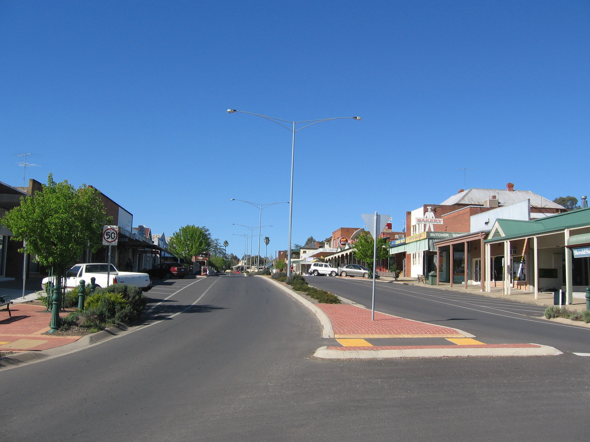
Corryong, Victoria — Corryong Victoria Hansen St, the main street of Corryong … Wikipedia
Corryong Football Club — Corryong FNC Names Full name Corryong Football Netball Club Nickname(s) The Demons 2009 season … Wikipedia
Corryong Football Netball Club — Corryong Demons Fullname Corryong Football Netball Club Emblem Demons Founded 1892 League Upper Murray Football Netball League Ground Corryong Rec. Reserve, Corryong, Victoria President … Wikipedia
Corryong Airport — IATA: CYG – ICAO: YCRG Summary Airport type Public Operator Shire of Towong Location … Wikipedia
Corryong — /ˈkɒrijɒŋ/ (say koreeyong) noun a town in north eastern Victoria, east of Tallangatta. {Australian Aboriginal; Pallangangmiddang (Victorian language) cooyong bandicoot} …
Murray Valley Highway — Murray Valley Highway … Wikipedia
Upper Murray Football League — The Upper Murray Football League is based in Northeastern Victoria and Southeastern New South Wales. The players in the UMFL comprise largely from Corryong and surrounding areas in North East Victoria including Albury/Wodonga. The competition is… … Wikipedia
List of Australian rules football clubs by date of establishment — Further information: List of Australian rules football clubs in Australia This is a chronological list of Australian rules football clubs since their formation. Note that some of these football clubs that formed before 1866 (see Laws of… … Wikipedia
Omeo Highway — Omeo Highway … Wikipedia
Shire of Upper Murray — Infobox Australian Place | type = lga name = Shire of Upper Murray state = vic region = area = 2459.81 est = 1920 seat = Corryong pop = 2450 (1992) [cite book|title=Victorian Year Book|author=Australian Bureau of Statistics, Victoria… … Wikipedia
 La grand'rue de Corryong
 Australie