Corinne (Utah)
- Corinne (Utah)
-
Wikimedia Foundation.
2010.
Contenu soumis à la licence CC-BY-SA. Source : Article Corinne (Utah) de Wikipédia en français (auteurs)
Regardez d'autres dictionnaires:
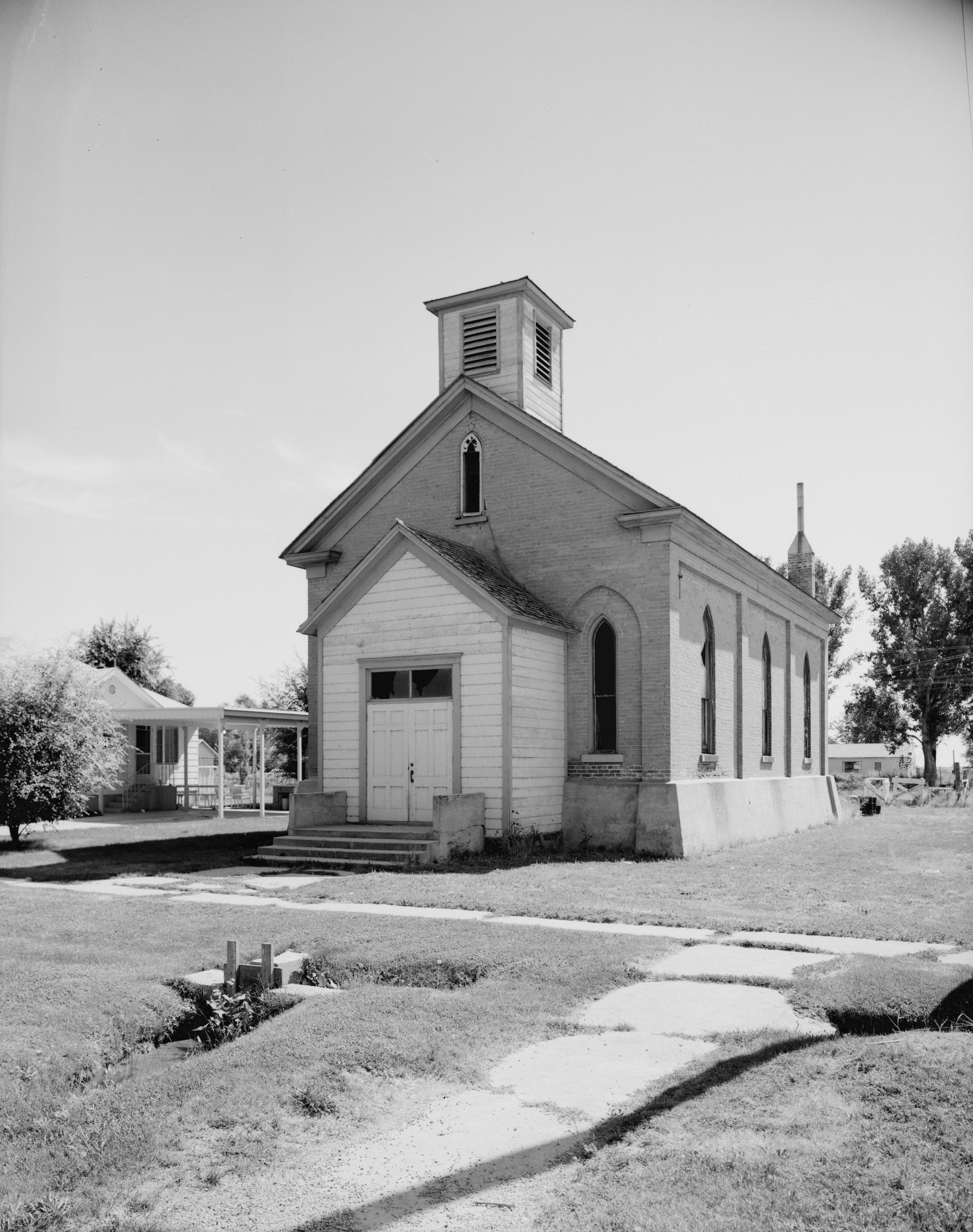
Corinne, Utah — City Corinne Methodist Episcopal Church … Wikipedia
Corinne (Utah) — Saltar a navegación, búsqueda Vista de una calle en Corinne, 1869. Corinne es una ciudad del condado de Box Elder, estado de Utah, Estados Unidos. Según el censo de 200 … Wikipedia Español
Utah locations by per capita income — See also: List of cities in Utah Utah has the thirty ninth highest per capita income in the United States of America, at $18,185 (2000). Its personal per capita income is $24,977 (2003). Utah counties ranked by per capita income There are twenty… … Wikipedia
Utah and Northern Railway — Infobox SG rail railroad name=Utah and Northern Railway logo filename= old gauge=; originally RailGauge|3 locale=Ogden, Utah to Butte, Montana start year=1871 end year=1889 hq city=Ogden, UtahThe Utah and Northern Railway is a defunct railroad… … Wikipedia
Corinne — Corinne, UT U.S. city in Utah Population (2000): 621 Housing Units (2000): 208 Land area (2000): 3.580943 sq. miles (9.274600 sq. km) Water area (2000): 0.077076 sq. miles (0.199625 sq. km) Total area (2000): 3.658019 sq. miles (9.474225 sq. km)… … StarDict's U.S. Gazetteer Places
Corinne, UT — U.S. city in Utah Population (2000): 621 Housing Units (2000): 208 Land area (2000): 3.580943 sq. miles (9.274600 sq. km) Water area (2000): 0.077076 sq. miles (0.199625 sq. km) Total area (2000): 3.658019 sq. miles (9.474225 sq. km) FIPS code:… … StarDict's U.S. Gazetteer Places
Utah State Route 13 — Infobox road state=UT type=SR route=13 section=107 maint=UDOT length mi=32.841 length round=3 length ref= [http://www.dot.utah.gov/main/uconowner.gf?n=15512813648687880 UDOT Highway Reference, SR 13] ] established=1977 direction a=South terminus… … Wikipedia
Corinne (homonymie) — Cette page d’homonymie répertorie les différents sujets et articles partageant un même nom. Corinne est un nom propre qui peut désigner : Sommaire 1 Personnalités 2 Toponyme … Wikipédia en Français
National Register of Historic Places listings in Box Elder County, Utah — Location of Box Elder County in Utah This is a list of the National Register of Historic Places listings in Box Elder County, Utah. This is intended to be a complete list of the properties and districts on the National Register of Historic Places … Wikipedia
Union Station (Ogden, Utah) — Union Station UTA Front Runner commuter rail The main Union Station building, rebuilt in 1924 after a fire, houses the Utah State Railroad Museum … Wikipedia
 Pour les articles homonymes, voir Corinne (homonymie).
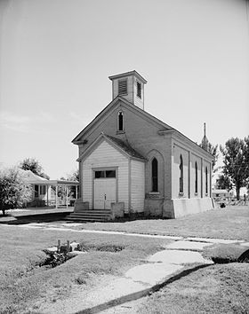
 États-Unis
 Utah
Utah