Copperville (Alaska)
- Copperville (Alaska)
-
Wikimedia Foundation.
2010.
Contenu soumis à la licence CC-BY-SA. Source : Article Copperville (Alaska) de Wikipédia en français (auteurs)
Regardez d'autres dictionnaires:
Copperville, Alaska — CDP … Wikipedia
Copperville — ist der Name mehrerer Orte in den Vereinigten Staaten: Copperville (Alaska) Copperville (Georgia) Copperville (Idaho) Copperville (Maryland) Copperville (New Hampshire) Copperville (Tennessee) Diese Seite ist eine Begriffsklärung … Deutsch Wikipedia
Alaska locations by per capita income — Alaska has the fourteenth highest per capita income in the United States of America, at $22,660 (2000). Its personal per capita income is $33,568 (2003), the twelfth highest in the country. Its median household income is $51,571 (2000), ranked… … Wikipedia
Copperville — Copperville, AK U.S. Census Designated Place in Alaska Population (2000): 179 Housing Units (2000): 77 Land area (2000): 1.394630 sq. miles (3.612074 sq. km) Water area (2000): 0.000000 sq. miles (0.000000 sq. km) Total area (2000): 1.394630 sq.… … StarDict's U.S. Gazetteer Places
Copperville, AK — U.S. Census Designated Place in Alaska Population (2000): 179 Housing Units (2000): 77 Land area (2000): 1.394630 sq. miles (3.612074 sq. km) Water area (2000): 0.000000 sq. miles (0.000000 sq. km) Total area (2000): 1.394630 sq. miles (3.612074… … StarDict's U.S. Gazetteer Places
Cordova, Alaska — Cordova City Aerial view of Cordova, Alaska … Wikipedia
Chisana, Alaska — Chisana Tsetsaan’ Na’ CDP Chisana s post office … Wikipedia
National Register of Historic Places listings in Valdez–Cordova Census Area, Alaska — Location of the Valdez Cordova Census Area in Alaska This is a list of the National Register of Historic Places listings in Valdez Cordova Census Area, Alaska. This is intended to be a complete list of the properties and districts on the National … Wikipedia
Chenega, Alaska — CDP Location of Chenega, Alaska Coordina … Wikipedia
Chistochina (Alaska) — Chistochina Lugar designado por el censo de los Estados Unidos … Wikipedia Español
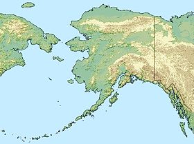
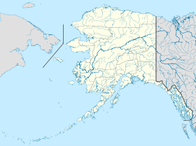
 États-Unis
 Alaska