Car Nicobar
- Car Nicobar
-
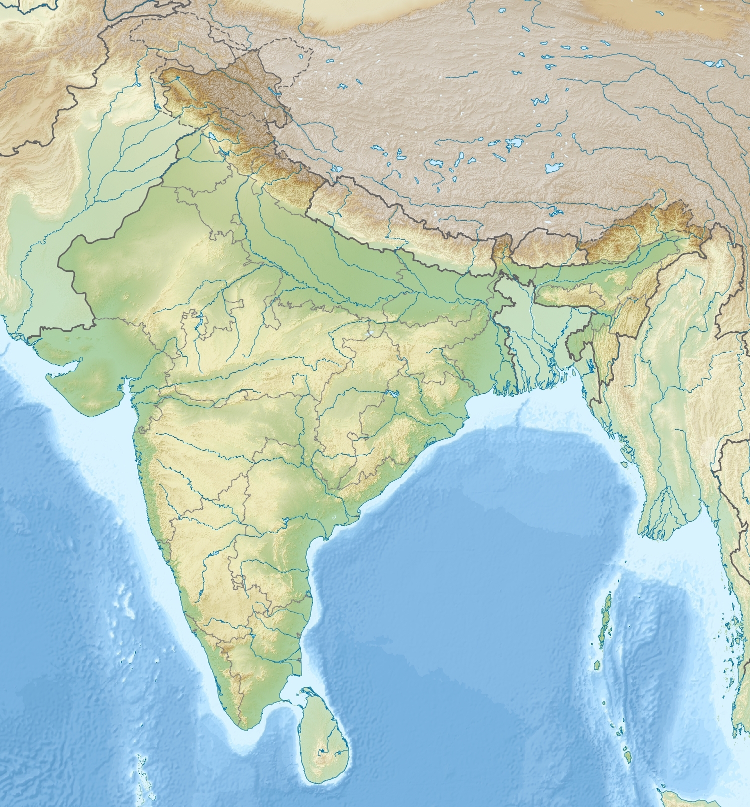
Car Nicobar est une île de l'archipel des Nicobar dans le Golfe du Bengale faisant partie du groupe des îles du nord.
Géographie
Cette section est vide,
insuffisamment détaillée ou incomplète.
Votre aide est la bienvenue !
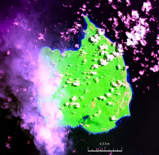
L'île mesure 15,4 km de longueur et 12 km de largeur maximales pour une superficie de 126,9 km2. Elle est située à 145 km au sud de la Petite Nicobar et 92 km au nord de Teressa.
Car Nicobar possède un petit aérodrome au sud-est de l'île.
Histoire
Cette section est vide,
insuffisamment détaillée ou incomplète.
Votre aide est la bienvenue !
Liens externes
Wikimedia Foundation.
2010.
Contenu soumis à la licence CC-BY-SA. Source : Article Car Nicobar de Wikipédia en français (auteurs)
Regardez d'autres dictionnaires:
Car Nicobar — NASA Satellitenbild Geocover 2000 Gewässer Indischer Ozean … Deutsch Wikipedia
Car Nicobar — (Groß Nicobar), die nördlichste Insel der Gruppe Nicobar (s.d.) im Bengalischen Meerbusen (SAsien); 5 QM., 1000 Ew.; Klima außerordentlich gesund, namentlich für Europäer; Boden sehr fruchtbar; Producte: Cocosnüsse, Ananas, Limonen, Zuckerrohr,… … Pierer's Universal-Lexikon
Car Nicobar — For Malacca, Malaysia, see Malacca. Car Nicobar ( Pu in the local language) is the northernmost of the Nicobar Islands, which in turn are the southern part of the Indian union territory of the Andaman and Nicobar Islands. It lies at… … Wikipedia
Car Nicobar tehsil — Car Nicobar is one of 2 local administrative divisions of the Indian district of Nicobar, part of the Indian union territory of Andaman and Nicobar Islands.It is a division known locally as a tehsil , roughly equivalent to a county in its range… … Wikipedia
Car Nicobar Air Force Base — Infobox Airport name = Car Nicobar Air Force Base nativename = nativename a = nativename r = image width = caption = IATA = CBD ICAO = VOCX type = Military owner = operator = Indian Air Force city served = location = Car Nicobar elevation f = 5… … Wikipedia
Car Nicobar class fast attack craft — The Car Nicobar class of fast attack crafts are being built at Garden Reach Shipbuilders and Engineers for the Indian Navy. The ships will be cost effective platforms for patrol and rescue operations at sea.DesignThe ships have improved… … Wikipedia
Nicobar district — is one of three districts in the Indian Union Territory (UT) of Andaman and Nicobar Islands. The district s administrative territory encompasses all of the Nicobar Islands, which are located in the Indian Ocean (Bay of Bengal, bordering with the… … Wikipedia
Nicobar Megapode — Conservation status Vulnerable (IU … Wikipedia
Nicobar Pigeon — Conservation status Near Threatened ( … Wikipedia
Nicobar — can refer to: Nicobar Islands Car Nicobar Great Nicobar Island Little Nicobar Nicobar district Animals Nicobar Shrew Nicobar Treeshrew Nicobar long tailed macaque Nicobar Flying Fox Nicobar Pigeon Nicobar Megapode Nicobar Sparrowhawk Nicobar… … Wikipedia

 Inde
Inde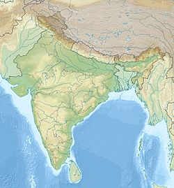
 Car Nicobar