Campbells Creek
Contenu soumis à la licence CC-BY-SA. Source : Article Campbells Creek de Wikipédia en français (auteurs)
Regardez d'autres dictionnaires:
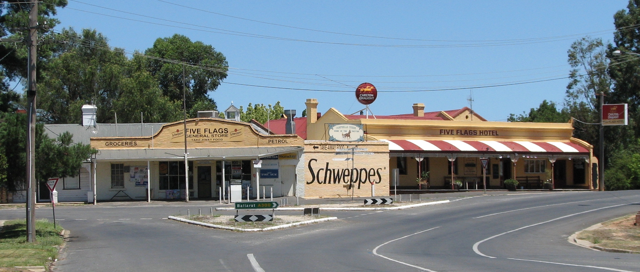
Campbells Creek, Victoria — Infobox Australian Place | type = town name = Campbells Creek state = vic caption = General store and hotel lga = Shire of Mount Alexander postcode = 3450 est = pop = 1,266 elevation= maxtemp = mintemp = rainfall = stategov = Bendigo West fedgov … Wikipedia
Delaneys Creek, Queensland — Delaneys Creek Queensland Population: 495[1] Postcode: 4514 LGA … Wikipedia
List of localities in Victoria (Australia) — Map of Local Government Areas in Victoria This is a list of locality names and populated place names in the state of Victoria, Australia, outside the Melbourne metropolitan area. It is organised by region from the south west of the state to the… … Wikipedia
Maryborough Castlemaine District Football League — The Maryborough Castlemaine District Football League is an Australian rules football league based in central Victoria. This is a minor league with clubs coming from towns near the regional centres of Maryborough, and Castlemaine. Contents 1… … Wikipedia
Contenu:Australie — Projet:Australie/Liste des articles Liste mise à jour régulièrement par MyBot (d · c · b) à partir des articles liés au bandeau {{Portail Australie}} Modifications récentes des articles ayant le bandeau de ce portail… … Wikipédia en Français
Shire of Mount Alexander — Victoria Location in Victoria … Wikipedia
Charleston, West Virginia — Not to be confused with Charles Town, West Virginia. City of Charleston City … Wikipedia
Midland Highway (Victoria) — This article is about the highway in Victoria, Australia. For the highway in Tasmania, Australia, see Midland Highway (Tasmania). Midland Highway … Wikipedia
Shire of Newstead — Infobox Australian Place | type = lga name = Shire of Newstead state = vic region = area = 409.22 est = 1860 seat = Newstead pop = 3070 (1992) [cite book|title=Victorian Year Book|author=Australian Bureau of Statistics, Victoria… … Wikipedia
William Watson (Australian politician) — William Watson (22 October 1864 ndash; 21 December 1938) was an Australian politician. Born in Campbells Creek, Victoria, he was educated at public schools before becoming a miner, bricklayer and farmer. In 1893, he left Victoria for Western… … Wikipedia
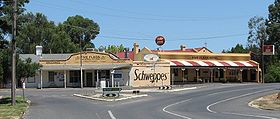 Le magasin de Campbells Creek
 Australie