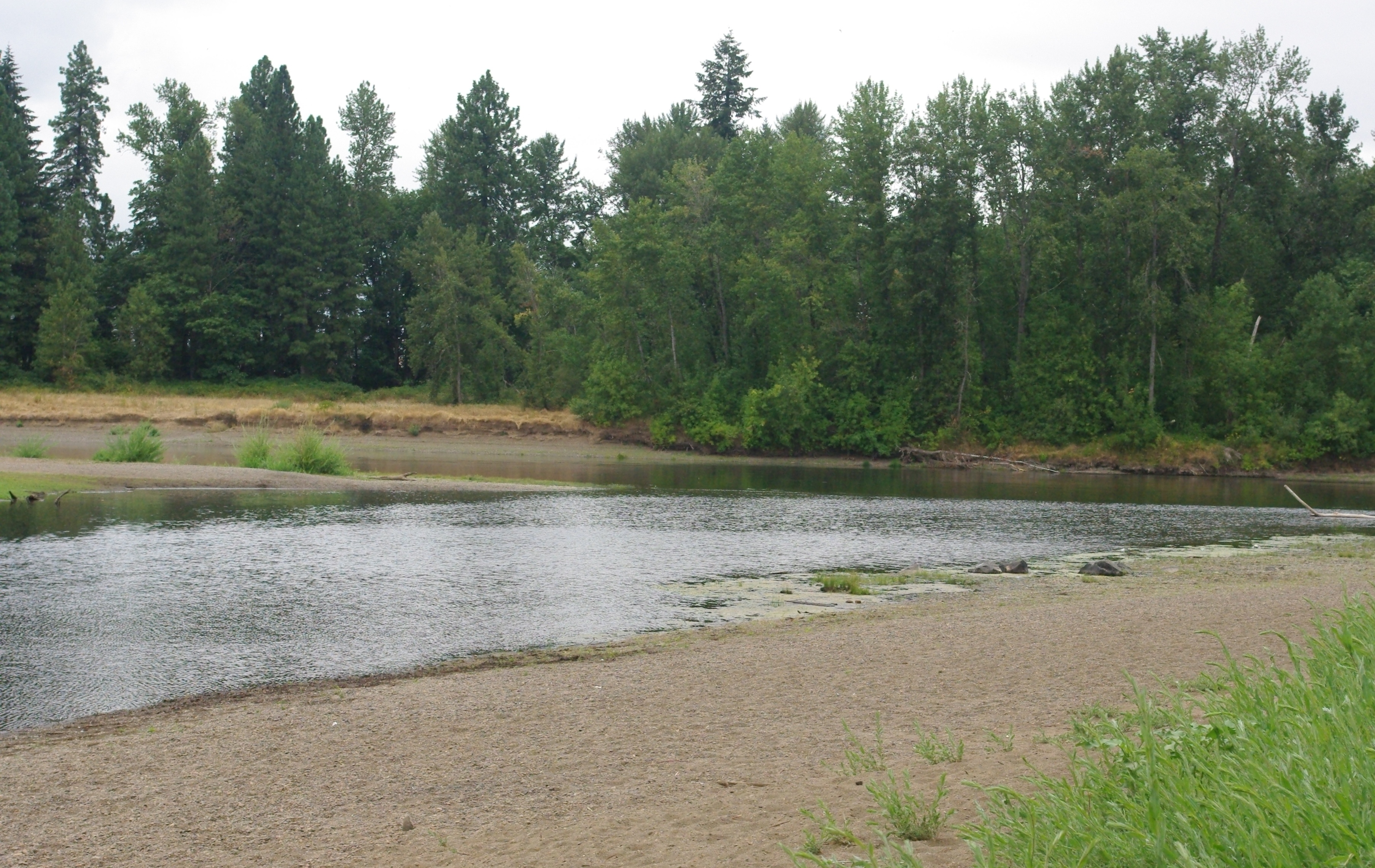
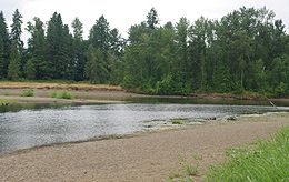
Calapooia
Contenu soumis à la licence CC-BY-SA. Source : Article Calapooia de Wikipédia en français (auteurs)
Regardez d'autres dictionnaires:
Calapooia River — The Calapooia River is a tributary of the Willamette River in the U.S. state of Oregon.The Calapooia runs through Crawfordsville and Brownsville in the Willamette Valley. The river converges with the Willamette near Albany. It was named for the… … Wikipedia
Albany, Oregon — Infobox Settlement official name = Albany, Oregon settlement type = City nickname = motto = imagesize = image caption = imagesize = image caption = mapsize = 250px map caption = Location in Oregon mapsize1 = map caption1 = subdivision type =… … Wikipedia
Kalapuya — The Kalapuya (also Kalapuyan, Kalapooian, Calapooya, Calapooia) are a Native American ethnic group and are members of the Confederated Tribes of the Grand Ronde Community of Oregon. The Kalapuya tribes traditional homelands are the area of… … Wikipedia
Greater Albany Public School District — Education in Albany, Oregon, USA is coordinated by Greater Albany Public School District 8J (GAPS 8J). Established in 1979 and encompassing a 154 square mile (399 km²) area, this educational district aims to educate the children of Albany from… … Wikipedia
List of rivers of Oregon — This is a partial listing of rivers in the state of Oregon, United States of America. The list of Oregon rivers is organized alphabetically and by tributary structure. The list may also include streams known as creeks, brooks, forks, branches and … Wikipedia
Classification of indigenous peoples of the Americas — Cultural regions of North American people at the time of European contact … Wikipedia
Oregon Penutian languages — Oregon Penutian (hypothetical / obsolete) Geographic distribution: Oregon Linguistic classification: Penutian Oregon Penutian Subdivisions … Wikipedia
Willamette — 44° 01′ 24″ N 123° 01′ 26″ W / 44.0232, 123.024 … Wikipédia en Français
Course of the Willamette River — Coordinates: 45°39′10″N 122°45′53″W / 45.65278°N 122.76472°W / 45.65278; 122.76472 … Wikipedia
Albany Monteith Historic District — Monteith Historic District U.S. National Register of Historic Places U.S. Historic district … Wikipedia
 États-Unis