Boorowa
Contenu soumis à la licence CC-BY-SA. Source : Article Boorowa de Wikipédia en français (auteurs)
Regardez d'autres dictionnaires:
Boorowa — Original name in latin Boorowa Name in other language Boorowa State code AU Continent/City Australia/Sydney longitude 34.43661 latitude 148.71634 altitude 487 Population 1340 Date 2012 02 28 … Cities with a population over 1000 database
Boorowa — Admin ASC 2 Code Orig. name Boorowa Country and Admin Code AU.02.11050 AU … World countries Adminstrative division ASC I-II
Boorowa Council — Boorowa Lage des Boorowa Council in New South Wales Gliederung … Deutsch Wikipedia
Boorowa River — Boorowa RiverVorlage:Infobox Fluss/GKZ fehlt Lage New South Wales (Australien) Flusssystem Murray River Abfluss über Lachlan River → … Deutsch Wikipedia
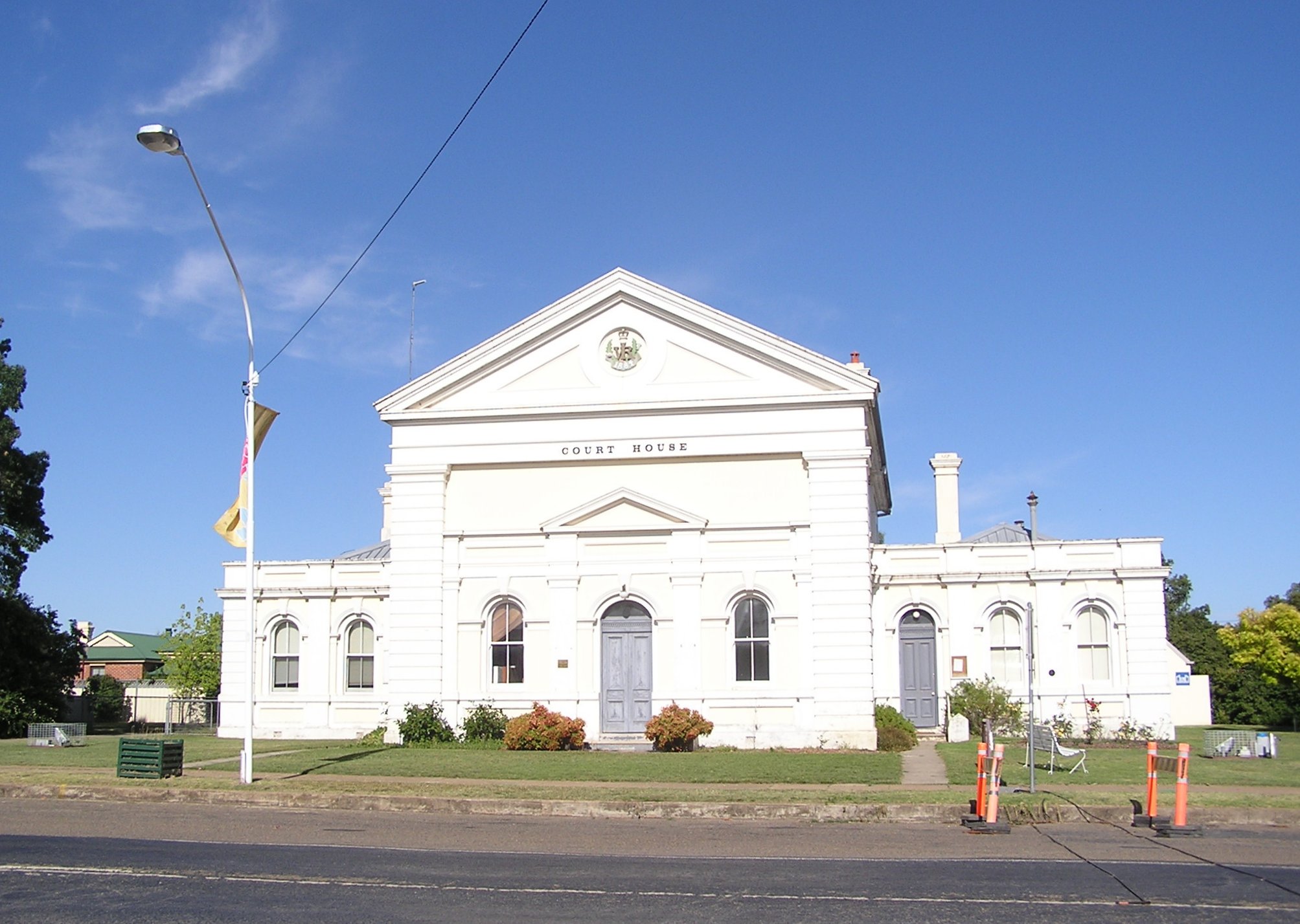
Boorowa, New South Wales — Infobox Australian Place | type = town name = Boorowa state = nsw caption = Boorowa Court House lga = Boorowa Shire Council postcode = 2586 pop = 1,067 (2001 census) est = 1843 stategov = Burrinjuck fedgov = HumeBoorowa is a farming town in New… … Wikipedia
Boorowa Council — Infobox Australian Place | type = lga name = Boorowa Council caption = Location in NSW state=New South Wales region=South West Slopes area=2579 seat=Boorowa (Market Street)cite web title=Boorowa Council publisher = Department of Local Government… … Wikipedia
Boorowa railway line, New South Wales — The Boorowa railway line is a closed railway line in New South Wales, Australia. The line ran for 29km north to the town of Boorowa from the Main South railway line at Galong.The line opened on 10 October, 1914 [ A Short History of the Boorowa… … Wikipedia
Boorowa — /ˈbʊrəwə/ (say booruhwuh) noun a town and shire in the south western slopes region of NSW …
Electoral district of Boorowa — Boorowa was a former electoral district for the Legislative Assembly in the Australian State of New South Wales from 1880 to 1904, including the town of Boorowa. Its name was spelt Booroowa from 1899 to 1901.Members for Temora … Wikipedia
Conseil de Boorowa — 34°26′S 148°43′E / 34.433, 148.717 … Wikipédia en Français
 Le palais de justice de Boorowa
 Australie
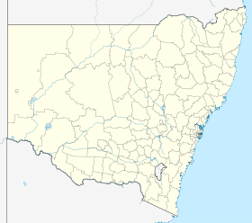
 Boorowa