- Boheľov
-
Boheľov
(Village)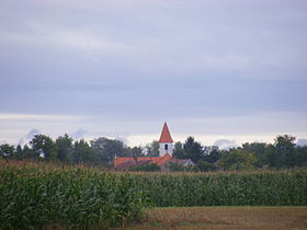
Administration Pays  Slovaquie
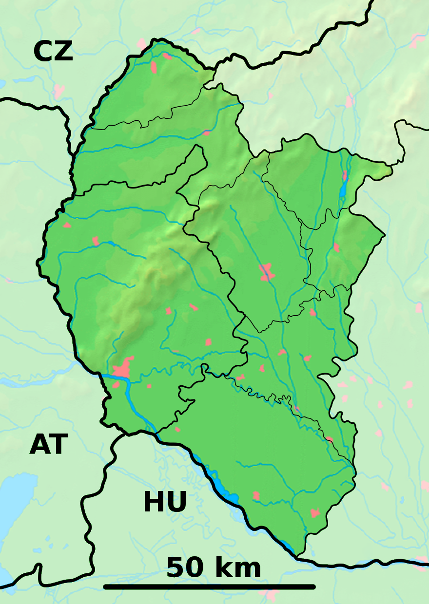
Région Région de Trnava District District de Dunajská Streda Code postal 930 10 Plaque minéralogique DS Starosta (maire) Mária Kázmérová ( SMK-MKP )
Mandat: 2013
Démographie Population 354 hab. (31.12.2008) Densité 42,7 hab./km2 Géographie Coordonnées Altitude 112 m Superficie 829,2428 ha = 8,292428 km² Localisation en Slovaquie 
 Boheľov
 Boheľov
Localisation dans la région de Trnava Sources Resultat des élections http://www.e-obce.sk [1] http://www.statistics.sk [2] Boheľov (hongrois : Bögellő) est un village de Slovaquie situé dans la région de Trnava.
Histoire
Première mention écrite du village en 1456.
Notes et références
Catégories :- Village de Slovaquie
- Village et ville du district de Dunajská Streda


Wikimedia Foundation. 2010.