- Barrington (Nouvelle-Écosse)
-
Barrington Administration Pays  Canada
Province  Nouvelle-Écosse
Région comté de Shelburne Statut municipal district municipal Démographie Géographie Coordonnées
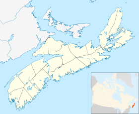
géographiquesSuperficie 631,94 km2 Fuseau horaire UTC-4 Géolocalisation sur la carte : Nouvelle-Écosse
modifier 
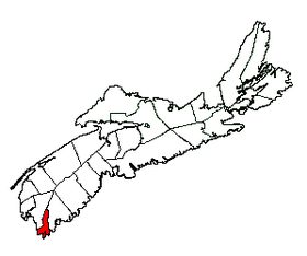
Barrington est un district municipal de la Nouvelle-Écosse situé dans le comté de Shelburne. Au recensement de 2006, on y a dénombré 7 331 habitants[1].
Communautés
Il comprend plusieurs communautés.
- Atwoods Brook
- Baccaro
- Barrington
- Barrington Head
- Barrington Passage
- Bear Point
- Blanche
- Brass Hill
- Cape Negro
- Cape Sable Island
- Centreville
- Central Woods Harbour
- Charlesville
- Clam Point
- Clark's Harbour
- Coffinscroft
- Crowell
- Doctors Cove
- East Baccaro
- Forbes Point
- Lower Clarks Harbour
- Lower Shag Harbour
- Lower Woods Harbour
- Middle Clyde River
- Newellton
- North East Point
- Port La Tour
- Reynoldscroft
- Riverhead
- Shag Harbour
- Sherose Island
- Smithsville
- South Side
- Stoney Island
- The Hawk
- Thomasville
- Upper Port La Tour
- Upper Woods Harbour
- Villagedale
- West Baccaro
- West Head
Références
Lien externe
Catégories :- Ville de Nouvelle-Écosse
- Comté de Shelburne
Wikimedia Foundation. 2010.


