- Babinec
-
Babinec
(Village)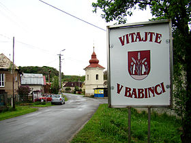
Administration Pays  Slovaquie
Région Région de Banská Bystrica District District de Rimavská Sobota Code postal 98026 Plaque minéralogique RS Starosta (maire) Jaroslav Benda ( SMER )
Mandat: 2013
Démographie Population 75 hab. (31.12.2007) Densité 15,3 hab./km2 Géographie Coordonnées Altitude 423 m Superficie 491,3094 ha = 4,913094 km² Localisation en Slovaquie 
 Babinec
 Babinec
Localisation dans la région de Banská Bystrica Sources Resultat des élections http://www.e-obce.sk [1] http://www.statistics.sk [2] http://www.slovakregion.sk/ [3]
Babinec (hongrois : Babarét)[4] est un village de Slovaquie situé dans la région de Banská Bystrica.Histoire
La première mention écrite du village date de 1407[2].
Notes et références
- (sk) e-obce.sk. Consulté le 28 janvier 2010
- (sk) (en) Mestská a obecná štatistika SR. Consulté le 28 janvier 2010
- (sk) Slovak region. Consulté le 28 janvier 2010
- http://slovnik.juls.savba.sk/?d=obce
Catégories :- Village de Slovaquie
- Village et ville du district de Rimavská Sobota


Wikimedia Foundation. 2010.