Antonibe
- Antonibe
-
15° 07′ 00″ S 47° 24′ 00″ E / -15.116667, 47.4
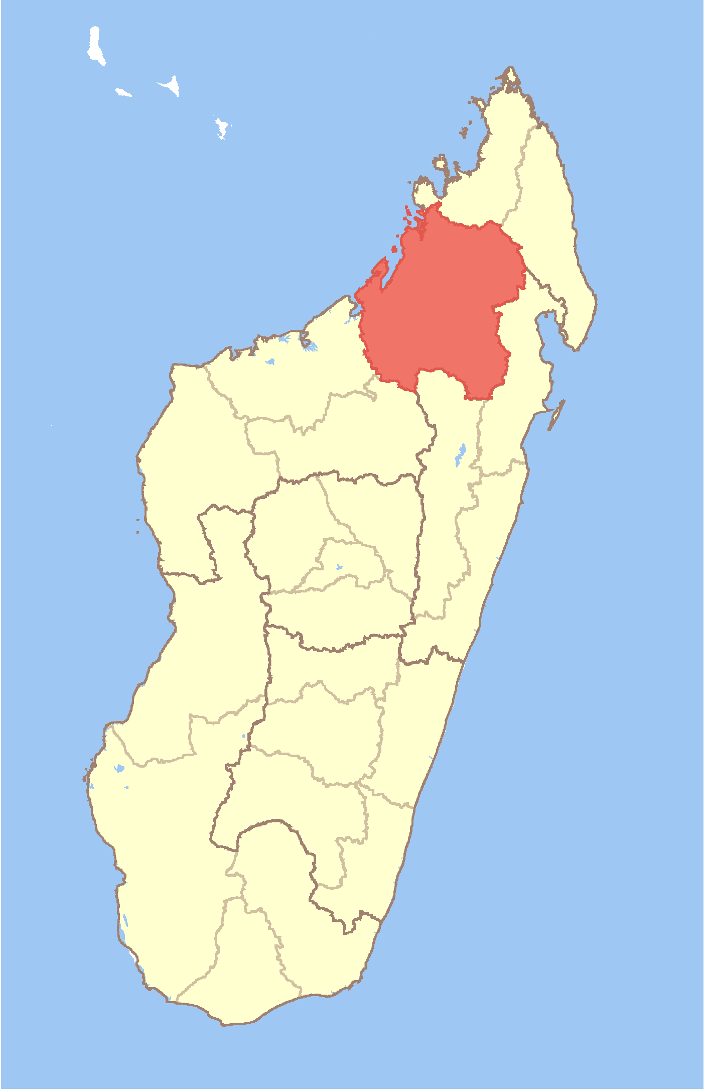
Antonibe est une commune urbaine malgache située dans la partie ouest de la région de Sofia.
Géographie
Cette section est vide, insuffisamment détaillée ou incomplète.
Votre aide est la bienvenue !
Démographie
Cette section est vide, insuffisamment détaillée ou incomplète.
Votre aide est la bienvenue !
Économie
Cette section est vide, insuffisamment détaillée ou incomplète.
Votre aide est la bienvenue !
Notes et références
Voir aussi
Articles connexes
Wikimedia Foundation.
2010.
Contenu soumis à la licence CC-BY-SA. Source : Article Antonibe de Wikipédia en français (auteurs)
Regardez d'autres dictionnaires:
Antonibe — Infobox Settlement official name = Antonibe other name = native name = nickname = settlement type = motto = imagesize = image caption = flag size = image seal size = image shield = shield size = image blank emblem = blank emblem type = blank… … Wikipedia
Daniel Rajakoba — (born 21 October 1940[1]) is a Malagasy politician. Born in Antonibe, Sofia Region, Rajakoba studied teaching at Antananarivo University.[1] He became a professor before being appointed as Minister of the Civil Service, Labour, and Social Laws by … Wikipedia
Mampikony — Mampikony … Wikipedia
Mandritsara — Mandritsara … Wikipedia
Manampaneva — Manampaneva … Wikipedia
Marotandrano — Marotandrano … Wikipedia
Mandritsara District — District Location in Madagascar … Wikipedia
Mangidrano — Mangidrano … Wikipedia
Marotolana, Bealanana — Marotolana … Wikipedia
Marovatolena — Marovatolena … Wikipedia
 Madagascar