- Agioi Pandes
-
Agioi Pandes
Άγιοι Άγιοι Πάντες (el)Géographie Pays  Grèce
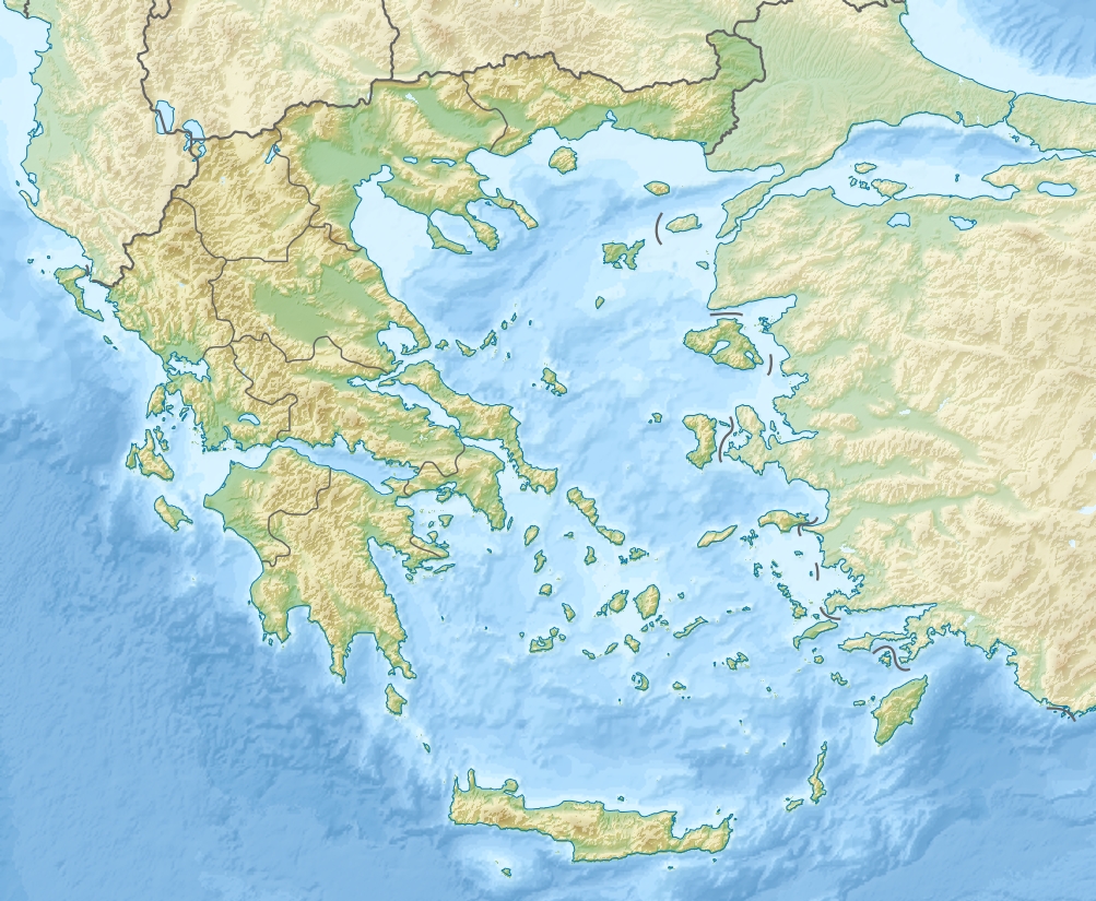
GrèceArchipel Crète Coordonnées Administration GrècePériphérie Crète Nome Nome de Lassithi Démographie Population Aucun habitant Autres informations Géolocalisation sur la carte : Grèce
 Agioi Pandes
Île de Grèce Agioi Pandes (en grec : Άγιοι Πάντες, « Tous-les-Saints ») est un îlot inhabité situé au large de la côte nord de la Crète orientale, à proximité de la ville d'Agios Nikolaos. Agioi Pandes fait partie du nome de Lassithi.
Wikimedia Foundation. 2010.