Zazafotsy

Zazafotsy

22° 07′ S 46° 13′ E / -22.12, 46.21

Zazafotsy
Administration
Pays Drapeau de Madagascar Madagascar
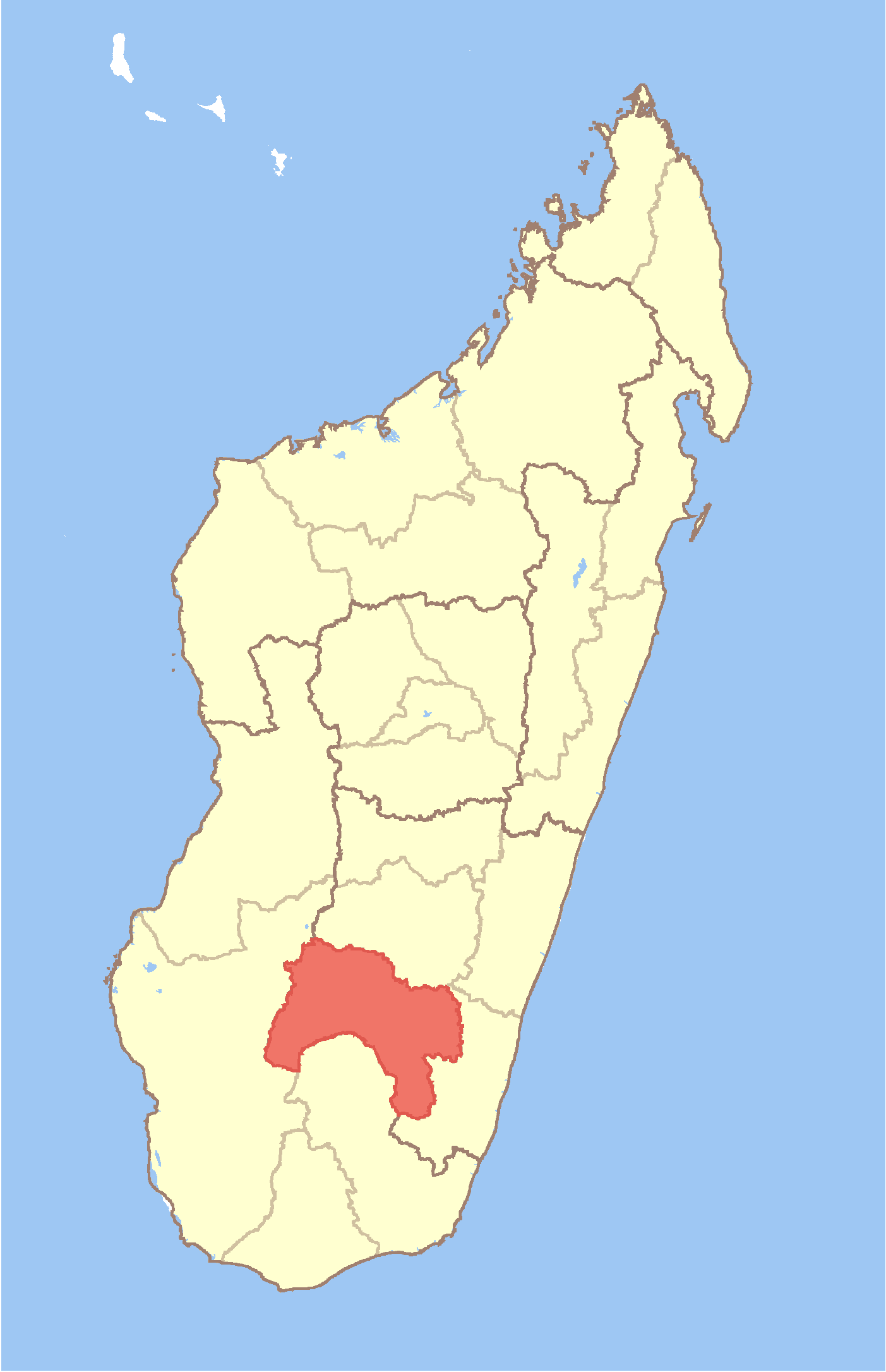
Région Ihorombe
Province Fianarantsoa
District Ivohibe
Géographie
Coordonnées 22° 07′ Sud
       46° 13′ Est
/ -22.12, 46.21
Altitude 832 m
Démographie
Population 10 000 hab. (est. 2005)
Localisation
Madagascar location map.svg
City locator 13.svg

Zazafotsy est une ville et une commune rurale (Kaominina) située dans la région d'Ihorombe (province de Fianarantsoa), dans le sud de Madagascar.

Sommaire

Géographie

Population et société

Démographie

La population est estimée à environ 10 000[1].

Économie

Les ressources agricoles sont les rizières, les arachides et le manioc.

Notes et références de l'article

  1. Site Ilo, Université Cornell (2002).

Voir aussi

Articles connexes

  • ...

Liens et documents externes

  • ...

Wikimedia Foundation. 2010.

Contenu soumis à la licence CC-BY-SA. Source : Article Zazafotsy de Wikipédia en français (auteurs)

Игры ⚽ Нужно сделать НИР?

Regardez d'autres dictionnaires:

  • Zazafotsy — Infobox Settlement official name = Zazafotsy other name = native name = nickname = settlement type = motto = imagesize = image caption = flag size = image seal size = image shield = shield size = image blank emblem = blank emblem type = blank… …   Wikipedia

  • District d'Ihosy — 22°24′S 46°07′E / 22.4, 46.117 …   Wikipédia en Français

  • Pachypodium habitats — consist of isolated, specialized, micro environmental niches, generally xeric, rocky, frost free areas within parts of western Madagascar and southern Africa. Pachypodium species are often indifferent to the regional ecological, biotic zone of… …   Wikipedia

  • Mahasoa — Mahasoa …   Wikipedia

  • Menamaty Iloto — Menamaty Iloto …   Wikipedia

  • Maropaika — Maropaika …   Wikipedia

  • Ambatolahy (Ihosy) — 22° 19′ S 46° 00′ E / 22.32, 46.00 …   Wikipédia en Français

  • Ambia (Ihosy) — 22° 13′ S 46° 07′ E / 22.22, 46.11 …   Wikipédia en Français

  • Analaliry — 22° 28′ S 46° 09′ E / 22.47, 46.15 …   Wikipédia en Français

  • Analavoka — 22° 19′ S 46° 18′ E / 22.32, 46.30 …   Wikipédia en Français

Share the article and excerpts

Direct link
Do a right-click on the link above
and select “Copy Link”