Yenangyaung

Yenangyaung
Yenangyaung
Administration
Pays Drapeau de Birmanie Birmanie
Région Région de Magway
Géographie
Coordonnées 20° 27′ 30″ Nord
       94° 52′ 23″ Est
/ 20.4582611, 94.8731806
Localisation
Myanmar location map.svg
City locator 14.svg
Yenangyaung

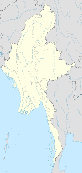
Yenangyaung (en birman littéralement « fleuve de pétrole ») est une ville de Birmanie située dans la Région de Magway, sur la rive orientale de l'Irrawaddy. Son industrie dominante est le pétrole.

Durant la Seconde Guerre mondiale, Yenangyaung acquit une importance stratégique et tactique, du fait de sa raffinerie. L'avance rapide de l'armée d'invasion japonaise en Birmanie et la bataille de Yenangyaung obligèrent les forces alliées en retraite à faire sauter les champs pétrolifères et la raffinerie pour éviter qu'ils ne tombent entre ses mains. Cette mission fut confiée à un petit groupe de démolisseurs expérimentés, dont certains avaient déjà combattu durant la première guerre mondiale : les installations pétrolières furent détruites le 16 avril 1942 à 22 h. Les auteurs de cette action durent ensuite rejoindre les troupes britanniques en Inde, à Imphal et Kohima, soit près de 1 600 km, après avoir traversé l'Irrawaddy à la nage (le seul pont avait été détruit pour retarder l'avance japonaise)[1],[2].

Notes

  1. (en) Yenangyaung 1942, by Captain Christensen, 1949
  2. Un récit détaillé de cette action peut être lu dans Retreat with Stilwell, du correspondant de guerre Jack Belden, Garden City Books, New York, 1943.

Liens externes

20°27′29.74″N 94°52′23.45″E / 20.4582611, 94.8731806


Wikimedia Foundation. 2010.

Contenu soumis à la licence CC-BY-SA. Source : Article Yenangyaung de Wikipédia en français (auteurs)

Игры ⚽ Поможем написать курсовую

Regardez d'autres dictionnaires:

  • Yenangyaung — (Burmese; literally stream of oil ) is a city in Magway Division, Myanmar, on the Irrawaddy River. For centuries, the dominant industry in the area has been petroleum. It began as an indigenous oil industry, with hand dug wells, and from 1755… …   Wikipedia

  • Yenangyaung — Original name in latin Yenangyaung Name in other language Yaynangyoung, Yenangyaung, Yenangyoung State code MM Continent/City Asia/Rangoon longitude 20.46504 latitude 94.8712 altitude 56 Population 110553 Date 2012 12 06 …   Cities with a population over 1000 database

  • Yenangyaung Township — is a township of Magway District in the Magway Division of Myanmar. The principal town is Yenangyaung …   Wikipedia

  • Yenangyaung — ▪ Myanmar       town, west central Myanmar (Burma), on the Irrawaddy River, 135 miles (217 km) southwest of Mandalay. It is the centre of oil fields that were long the most productive in Myanmar. Pop. (1983) 62,582. * * * …   Universalium

  • Yenangyaung —    (Yaynangyoung)    A city in Magwe (Magway) Division, with a population estimated at 81,745 in 1996. Though it has little to offer tourists, it is historically and economically important as a center for the production of oil since before… …   Historical Dictionary of Burma (Myanmar)

  • Bataille de Yenangyaung — L avance japonaise en avril 1942. Yenangyaung se trouve à l ouest Informations générales Date 11 avril 1942 au …   Wikipédia en Français

  • Battle of Yenangyaung — Infobox Military Conflict conflict=Battle of Yenangyaung partof= the Burma Campaign caption= date=11 April 19 April, 1942 place=Yenangyaung, Burma casus= territory= result= Allied victory combatant1=flagicon|Republic of China National… …   Wikipedia

  • Magway Region — မကွေးတိုင်းဒေသကြီး   Division   Myanma transcription(s)  –  …   Wikipedia

  • Енанджаун — Город Енанджаун Страна [[Мьянма]]Мьянма …   Википедия

  • Sun Li-jen — Infobox Military Person name=Sun Li jen 孫立人 born= birth date|1900|12|8 died= death date and age|1990|11|19|1900|12|8 placeofbirth=Jinnu Town, Lujiang, Anhui placeofdeath=Taichung, Taiwan placeofburial= caption=Sun Li jen nickname= Rommel of the… …   Wikipedia

Share the article and excerpts

Direct link
Do a right-click on the link above
and select “Copy Link”