Urris Hills
- Urris Hills
-
55° 13′ 26″ N 7° 31′ 01″ W / 55.224, -7.517
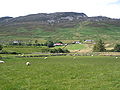
Les Urris Hills ou Cnoic Iorrais sont une chaîne de collines situées à l'ouest de la presqu'île d'Inishowen, comté de Donegal en Irlande. Culminant à une hauteur de 417 mètres, elles dominent le Lough Swilly à l'ouest et au nord le village de Dunaff.
Galerie
-
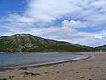
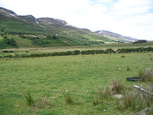
Les Urris Hills depuis Crummies Bay, Lough Swilly.
-
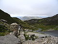
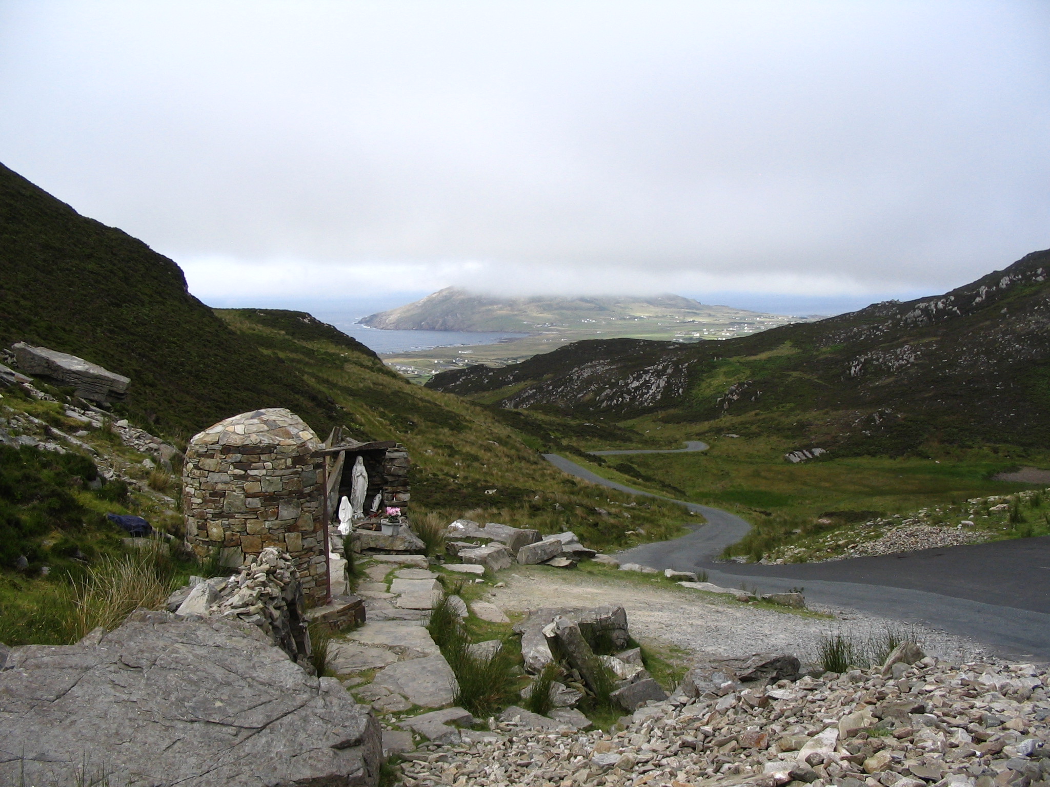
En direction du Gap of Mamore.
-
Holly well de Gap of Mamore, vue sur Dunaff Head.
Liens externes
Wikimedia Foundation.
2010.
Contenu soumis à la licence CC-BY-SA. Source : Article Urris Hills de Wikipédia en français (auteurs)
Regardez d'autres dictionnaires:
The Glen House Country Accommodation — (Clonmany,Ирландия) Категория отеля: 3 звездочный отель Адрес: St … Каталог отелей
Inishowen — ( ga. Inis Eoghain) is a historical peninsular region in County Donegal, and also the largest peninsula in Ireland. It pre dates the formation of the county in which it is located by centuries.Towns of InishowenThe main towns and villages of… … Wikipedia
Clonmany Cottage — (Clonmany,Ирландия) Категория отеля: Адрес: Clonmany, Clonmany, Ирландия … Каталог отелей
Clonmany — Cluain Maine Town … Wikipedia
County Donegal — Contae Dhún na nGall Coontie Dunnygal / Coontie Dinnygal Coat of arms … Wikipedia
Dungloe — An Clochán Liath Town … Wikipedia
Narin, County Donegal — Narin an Fhearthainn Town … Wikipedia
Letterkenny — Leitir Ceanainn Town … Wikipedia
Donegal — This article is about the Irish town of Donegal. For the county, see County Donegal. For other uses, see Donegal (disambiguation). Donegal Dún na nGall Town … Wikipedia
Dunfanaghy — Dún Fionnachaidh Village … Wikipedia

 Irlande
 Le Croaghcarragh