Tymbaki
- Tymbaki
-
35° 04′ 18″ N 24° 46′ 06″ E / 35.071751, 24.768462
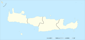
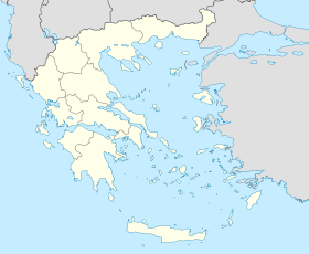
Tymbaki (en grec: Τυμπάκι) est une ville de Crète, en Grèce. Elle se situe dans le sud de l'île, dans le nome d'Héraklion et comptait 5 312 habitants en 2001[1].
Tymbaki tirerait son nom de la colline au pied de laquelle elle se situe et qui se nomme Tymbos. Au cours de la période vénitienne, Tymbaki n'est qu'un village près de la rivière Gero, souvent infstée par la Malaria. Lors de la Seconde Guerre mondiale, Tymbaki est rasée par les Allemands pour en faire une base militaire et un poste d'observation. La ville fut reconstruite après la Seconde guerre mondiale.
Notes et références
Wikimedia Foundation.
2010.
Contenu soumis à la licence CC-BY-SA. Source : Article Tymbaki de Wikipédia en français (auteurs)
Regardez d'autres dictionnaires:
Argyll and Sutherland Highlanders — Infobox Military Unit unit name=The Argyll and Sutherland Highlanders, 5th Battalion The Royal Regiment of Scotland caption=Cap Badge of the Royal Regiment of Scotland dates=1881 28 March 2006 country=United Kingdom branch=Army type=Line Infantry … Wikipedia
Lars Schlichting — This article is about the athlete. For the alumnus of the TV show , see that article. Football player infobox playername = Lars Schlichting fullname = Lars Schlichting height = 1.75m nickname = dateofbirth = birth date and age|1981|9|14… … Wikipedia
Iraklio (Präfektur) — Präfektur Iraklio (1915–2010) Νομός Ηρακλείου Basisdaten (April 2010)[1] Staat … Deutsch Wikipedia
Moires — Gemeinde Mires Δήμος Μοιρών (Μοίρες) DEC … Deutsch Wikipedia
Liste der Gemeinden Griechenlands (1997–2010) — Die folgende Tabelle umfasst alle griechischen Gemeinden, die im Zuge des Kapodistrias Programms von 1997 aus knapp 6.000 kleineren kommunalen Einheiten geschaffen wurden und im Zuge des Kallikratis Gesetzes von 2010 zum 1. Januar 2011… … Deutsch Wikipedia
Kommos — Archäologische Ausgrabungsstätte von Kommos Kommos (griechisch Κομμός oder Κομός (m. sg.)) bezeichnet eine archäologische Ausgrabungsstätte an der Südküste der griechischen Insel Kreta. Sie befindet sich in der Gemeinde Festos des… … Deutsch Wikipedia
Lars Schlichting — Lars Schlichting Spielerinformationen Geburtstag 14. September 1982 Geburtsort Lübeck, Deutschland Größe 174 cm Position Defensives Mittelfeld … Deutsch Wikipedia
Tympaki — or Timbaki ( el. Τυμπάκι) is a municipality in Heraklion Prefecture, Crete, Greece. It is located on the south coast, between Agia Galini and Matala. Population 10,001 (2001). A major container harbor and free trade zone has been rumored to be… … Wikipedia
2nd Battalion, York and Lancaster Regiment — Infobox Military Unit unit name= 2nd Battalion York and Lancaster Regiment caption= dates= 1881 1948 1952 1955 country= United Kingdom allegiance= branch= British Army type= Infantry role= size= One Battalion command structure= York and Lancaster … Wikipedia
Agia Triada (Kreta) — Ausgrabungsstätte von Agia Triada Agia Triada (griechisch Αγία Τριάδα, auch Hagia Triada, Ajia Triada oder Ayia Triada) bezeichnet eine archäologische Ausgrabungsstätte mit den Überresten einer Palastanlage im Süden der griechischen Insel… … Deutsch Wikipedia
 Grèce
Grèce

