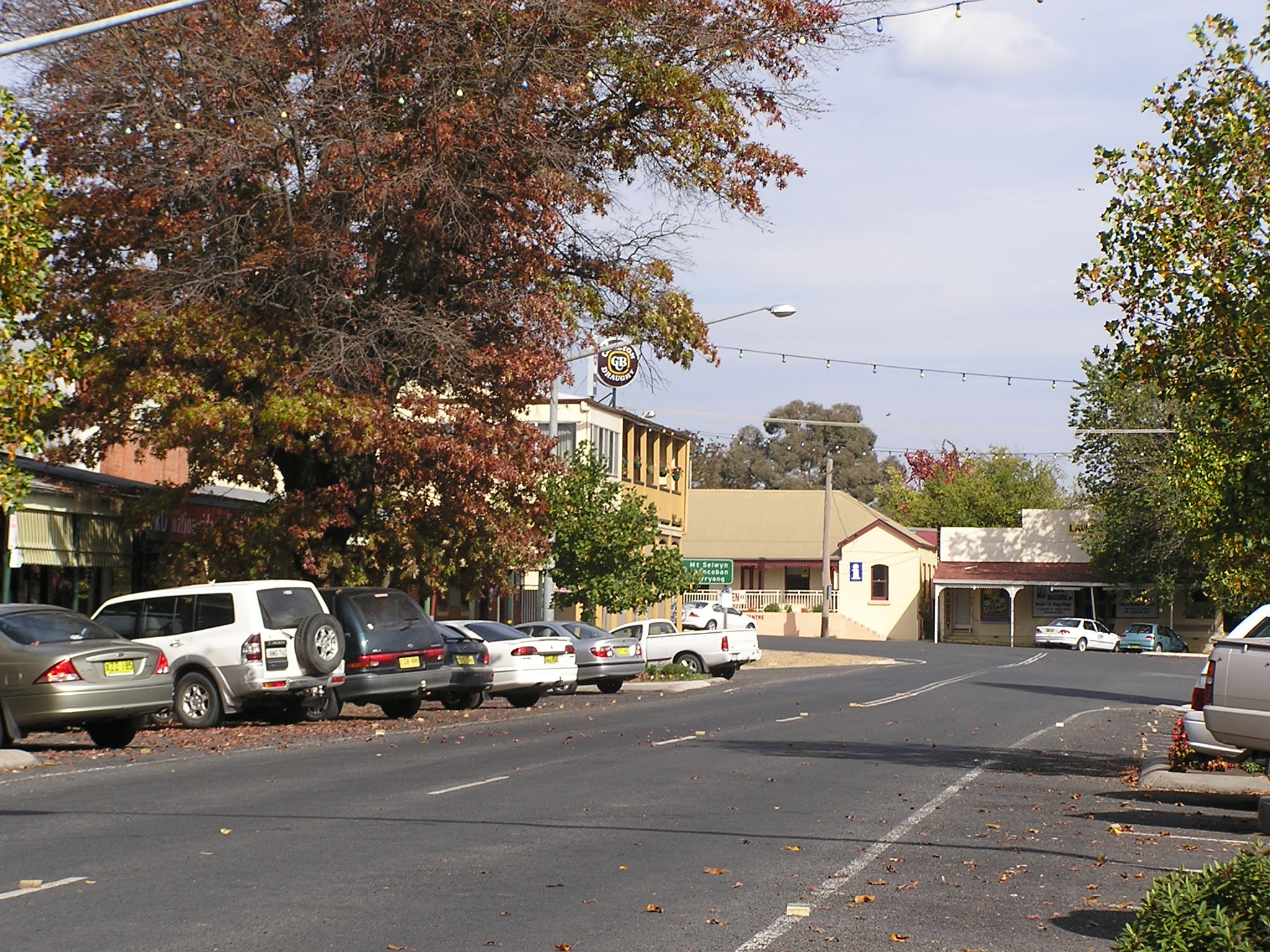
Tumbarumba

Tumbarumba

35° 46′ 39″ S 148° 00′ 47″ E / -35.7775, 148.013

Tumbarumba
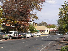
Tumbarumba: la grand-rue
Administration
Pays Drapeau d'Australie Australie
État Nouvelle-Galles-du-Sud
Code postal NSW 2653
Maire David Robertson
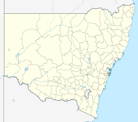
Comté de Tumbarumba
Géographie
Coordonnées 35° 46′ 59″ Sud
       148° 01′ 01″ Est
/ -35.783, 148.017
Altitude 592 m
Démographie
Population 1 487 hab. (2006)
Localisation

  Géolocalisation sur la carte : Nouvelle-Galles du Sud

Voir sur la carte : Nouvelle-Galles du Sud
City locator 14.svg
Tumbarumba

  Géolocalisation sur la carte : Australie

Voir sur la carte : Australie
City locator 14.svg
Tumbarumba

Tumbarumba (1 487 habitants) est une ville de la Riverina, en Nouvelle-Galles-du-Sud en Australie, à environ 500 km au sud-ouest de Sydney.

La ville est relativement proche du fleuve Murray, le principal fleuve d'Australie et du Mont Kosciuszko son point culminant.

La ville fut fondée en 1850 après la découverte d'or dans la région. L'exploitation de l'or cessa en 1930 et à l'heure actuelle, l'économie de la ville est basée sur le bois, l'agriculture et le tourisme.

Liens externes


Wikimedia Foundation. 2010.

Contenu soumis à la licence CC-BY-SA. Source : Article Tumbarumba de Wikipédia en français (auteurs)

Игры ⚽ Поможем сделать НИР

Regardez d'autres dictionnaires:

  • Tumbarumba — Admin ASC 2 Code Orig. name Tumbarumba Country and Admin Code AU.02.17450 AU …   World countries Adminstrative division ASC I-II

  • Tumbarumba Creek (New South Wales) — Tumbarumba CreekVorlage:Infobox Fluss/GKZ fehlt Lage New South Wales (Australien) Flusssystem Murray River Abfluss über Tooma River → …   Deutsch Wikipedia

  • Tumbarumba Creek — ist der Name zweier Wasserläufe in Australien: Tumbarumba Creek (New South Wales), ein Nebenfluss des Tooma River Tumbarumba Creek (Queensland), ein kurzer Bach in Queensland ohne Abfluss Diese Seite ist eine Begriffsklär …   Deutsch Wikipedia

  • Tumbarumba, New South Wales — Infobox Australian Place | type = town name = Tumbarumba state = nsw caption = Main street of Tumbarumba lga = Tumbarumba Shire Council postcode = 2653 pop = formatnum:1487 pop footnotes= census 2006 AUS|id=UCL176000|name=Tumbarumba (Urban… …   Wikipedia

  • Tumbarumba Shire — Shire of Tumbarumba Lage des Tumbarumba Shire in New South Wales Gliederung …   Deutsch Wikipedia

  • Tumbarumba Shire Council — Infobox Australian Place | type = lga name = Tumbarumba Shire caption = Location in New South Wales state=New South Wales region=Riverina area=4392 area footnotes = cite web title=Tumbarumba Shire Council publisher = Department of Local… …   Wikipedia

  • Tumbarumba railway line, New South Wales — The Tumbarumba railway line is a railway line in New South Wales, Australia. Services are suspended, although the line is not officially closed (which would require an Act of Parliament). Passenger services on the line in the final years… …   Wikipedia

  • Tumbarumba — /tʌmbəˈrʌmbə/ (say tumbuh rumbuh) noun a town and shire in south western NSW, in the Snowy Mountains area. {Australian Aboriginal; ? Wiradjuri: thunder, sound} …  

  • Comté de Tumbarumba — 35°45′S 148°00′E / 35.75, 148 …   Wikipédia en Français

  • Group 9 Rugby League — Group 9 is a rugby league competition in New South Wales, Australia based around the surrounding areas of Wagga Wagga. It is run under the auspices of the Country Rugby League. The Competition is now played in four Grades, Under 16, known as the… …   Wikipedia

Share the article and excerpts

Direct link
Do a right-click on the link above
and select “Copy Link”