Steinmaur

Steinmaur
Steinmaur
Une vue d'ensemble de la commune serait la bienvenue
Administration
Pays Suisse Armoiries de la commune.
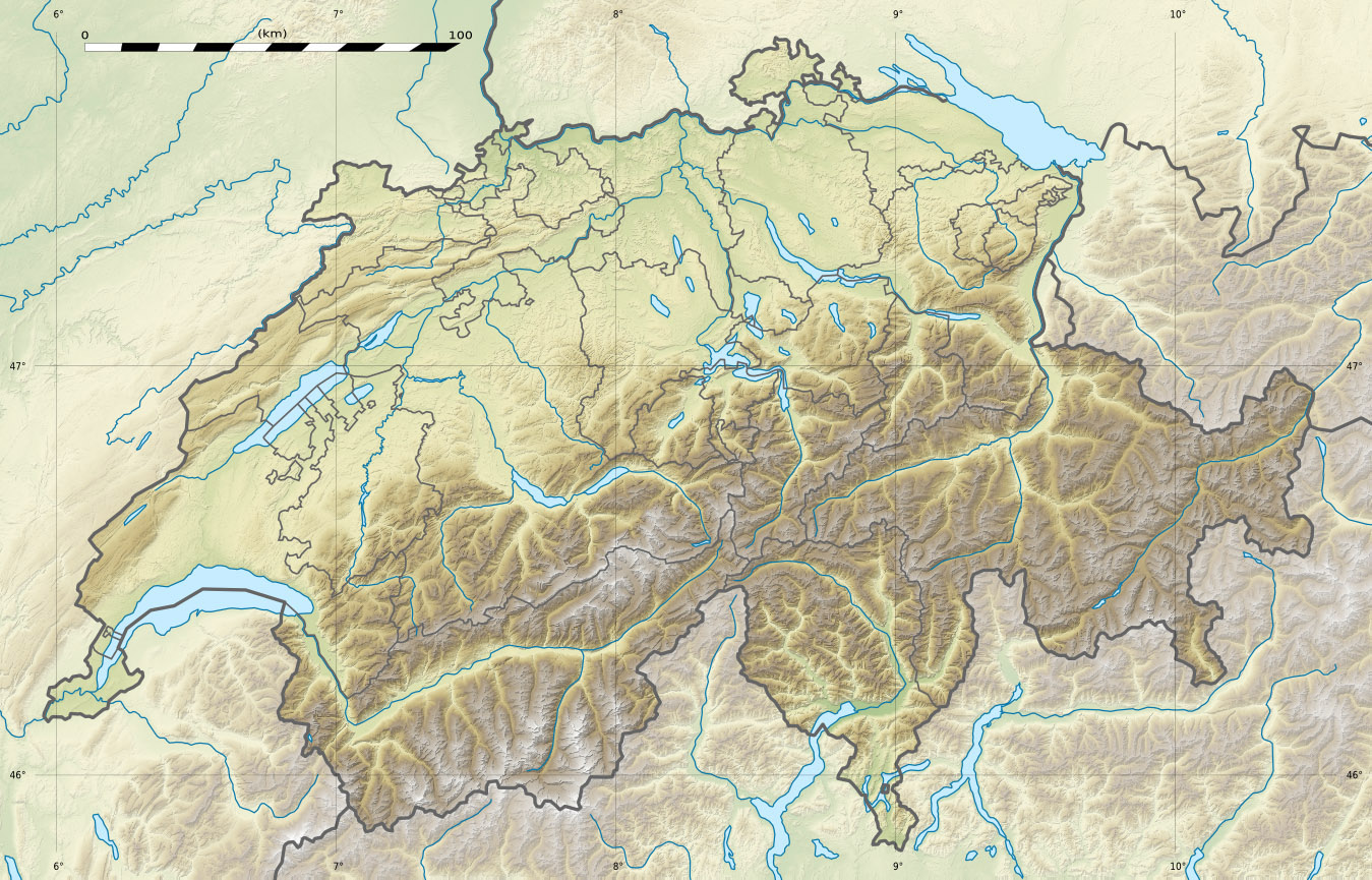
Canton Zurich
District Dielsdorf
Langue Allemand
Maire M. Andres Binder
N° OFS 0101
Code postal 8162
Site Web www.steinmaur.ch
Géographie
Superficie 9,4 km²[1]
Altitude 451
Coordonnées 47° 29′ 40″ N 8° 26′ 53″ E / 47.494437, 8.44805247° 29′ 40″ N 8° 26′ 53″ E / 47.494437, 8.448052 
Démographie
Population 3 136 (31 décembre 2009)[2]
Densité 333,6 hab./km²
Localisation

Localisation de Steinmaur en Suisse.

Steinmaur est une commune suisse du canton de Zurich.
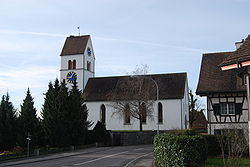
Eglise de Steinmaur


Références

  1. Statistique de la superficie 2004/09 : Données communales sur Office fédéral de la Statistique. Consulté le 23 septembre 2010
  2. (de) Statistisches Amt des Kantons ZürichBevölkerung in den Gemeinden und Regionen des Kantons Zürich, 2009 sur zh.ch. Consulté le 2er septembre 2010

Liens externes

Sur les autres projets Wikimedia :


Wikimedia Foundation. 2010.

Contenu soumis à la licence CC-BY-SA. Source : Article Steinmaur de Wikipédia en français (auteurs)

Игры ⚽ Поможем написать реферат

Regardez d'autres dictionnaires:

  • Steinmaur — Basisdaten Staat: Schweiz Kanton …   Deutsch Wikipedia

  • Steinmaur — Infobox Swiss town subject name = Steinmaur municipality name = Steinmaur municipality type = municipality imagepath coa = Steinmaur blazon.svg|pixel coa= languages = German canton = Zurich iso code region = CH ZH district = Dielsdorf lat… …   Wikipedia

  • Steinmaur — Original name in latin Steinmaur Name in other language State code CH Continent/City Europe/Zurich longitude 47.4971 latitude 8.45216 altitude 457 Population 1438 Date 2013 03 28 …   Cities with a population over 1000 database

  • Bezirk Dielsdorf — Basisdaten Kanton: Zürich Hauptort: Dielsdorf BFS Nr.: 0104 Fläche: 152.73 km² Einwohner: 74918 (2007) Bevölkerungsdichte: 490.53 Einw./km² …   Deutsch Wikipedia

  • Oberamt Regensberg — Bezirk Dielsdorf Basisdaten Kanton: Zürich Hauptort: Dielsdorf BFS Nr.: 0104 Fläche: 152.73 km² Einwohner: 74918 (2007) Bevölkerungsdichte: 490.53 Einw./km² …   Deutsch Wikipedia

  • Niedersteinmaur — Basisdaten Staat: Schweiz …   Deutsch Wikipedia

  • Dielsdorf (Bezirk) — Bezirk Dielsdorf Basisdaten Staat: Schweiz Kanton: Zürich Hauptort: Dielsdorf Region …   Deutsch Wikipedia

  • Marcel Wildhaber — Informations …   Wikipédia en Français

  • Bachs ZH — Bachs Basisdaten Kanton: Zürich Bezirk: Dielsdorf BFS Nr …   Deutsch Wikipedia

  • Bahnstrecke Niederweningen–Oberglatt — Wehntalbahn Streckenlänge: 12.07 km Spurweite: 1435 mm (Normalspur) Stromsystem: 15 kV 16.7 Hz  Maximale Neigung: 20 ‰ Oberglatt–Niederweningen[1] Legende …   Deutsch Wikipedia

Share the article and excerpts

Direct link
https://fr-academic.com/dic.nsf/frwiki/1571929 Do a right-click on the link above
and select “Copy Link”