Springsure
Contenu soumis à la licence CC-BY-SA. Source : Article Springsure de Wikipédia en français (auteurs)
Regardez d'autres dictionnaires:
Springsure Overlander Motel — (Springsure,Австралия) Категория отеля: Адрес: 10 Eclipse Lane, 4722 Sp … Каталог отелей
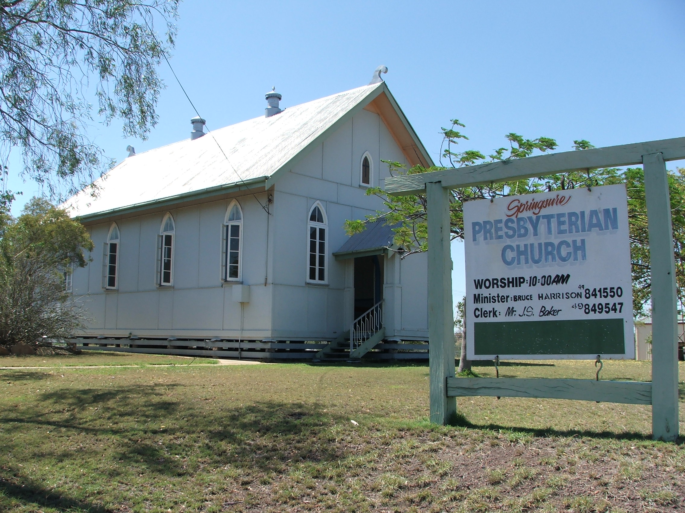
Springsure, Queensland — Infobox Australian Place | type = town name = Springsure state = qld caption = [http://www.springsure.pcq.org.au Springsure Presbyterian Church] lga = Central Highlands postcode = 4722 pop = 770 (2001 Census) est = elevation= 344.9 maxtemp = 28.8 … Wikipedia
Dooleys Springsure Tavern & Motel — (Springsure,Австралия) Категория отеля: 3 звездочный отель Адрес … Каталог отелей
Dawson Highway — Length 407 km (253 mi) Direction West East … Wikipedia
Central Queensland — NOTOC Infobox Australian Place | type = region name = Central Queensland state = Queensland caption = The Fitzroy River as it passes through Rockhampton. pop = 190 000 [cite web |url=http://www.localgovernment.qld.gov.au/?id=2096… … Wikipedia
Gregory Highway — Infobox Australian Road road name = Gregory Highway Gregory Developmental Road route route route photo = caption = length = 912 direction = North South start = finish = est = through = Lynd Junction, Charters Towers, Belyando Crossing, Clermont,… … Wikipedia
Shire of Bauhinia — Infobox Australian Place | type = lga name = Shire of Bauhinia state = qld imagesize= 180 caption = Location within Queensland pop = 2,544 (2001 census) area = est = seat = Springsure mayor = Tim Stevenson region = Central Highlands logosize =… … Wikipedia
Gregory Highway — Der Gregory Highway ist eine Fernverkehrsstraße in Queensland, Australien. Er hat eine Länge von 912 Kilometern und verläuft in Nordwest Südost Richtung im Wesentlichen parallel zum Verlauf der Küste des Landes. Seinen Namen erhielt der Gregory… … Deutsch Wikipedia
Comte de Bauhinia — Comté de Bauhinia Comté de Bauhinia Géographie État : Queensland Région … Wikipédia en Français
Comté De Bauhinia — Géographie État : Queensland Région … Wikipédia en Français
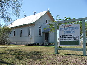 l'église presbytérienne de Springsure
 Australie
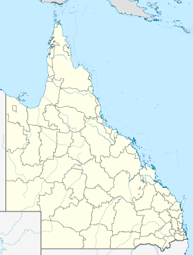
 Springsure
 Mont Zamia (dit Knob), vers 1877