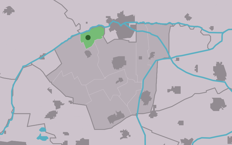
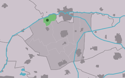
Sijbrandahuis
Contenu soumis à la licence CC-BY-SA. Source : Article Sijbrandahuis de Wikipédia en français (auteurs)
Regardez d'autres dictionnaires:
Sijbrandahuis — Infobox Settlement official name = Sijbrandahuis mapsize = 280px subdivision type = Country subdivision name = flagicon|Netherlands Netherlands subdivision type1 = Province subdivision name1 = flagicon|Friesland Friesland settlement type =… … Wikipedia
List of places in the Netherlands — This is an alphabetical list of places (cities, towns, villages) in the Netherlands. Lists per province can be found at:* List of towns in Groningen * List of towns in Friesland * List of towns in Drente * List of towns in Overijssel * List of… … Wikipedia
Klaarkamp Abbey — (Dutch: Klooster Klaarkamp ; Latin: Monasterium beatae Mariae de Claro Campo ) was a Cistercian monastery in the community of Dongeradeel, about 4 kilometres southwest of Dokkum and 2 kilometres north of Rinsumageest in the Dutch province of… … Wikipedia
Damwoude — Gemeinde Dantumadiel Flagge Wappen Provinz … Deutsch Wikipedia
Dantumadeel — Gemeinde Dantumadiel Flagge Wappen Provinz … Deutsch Wikipedia
Dantumadiel — Gemeinde Dantumadiel Flagge Wappen Provinz Friesland Bürgermeiste … Deutsch Wikipedia
Kloster Klaarkamp — Zisterzienserabtei Klaarkamp Lage Niederlande Niederlande Provinz Friesland Koordinaten … Deutsch Wikipedia
Sibrandahûs — 53°18′39″N 5°56′13″E / 53.31083, 5.93694 … Wikipédia en Français
Dantumadiel — Dantumadeel Dantumadiel Municipality De Grote Molen, Broeksterwoude, build in 1887 … Wikipedia
 Pays-Bas
 Portail des Pays-Bas