Serra do Bouro
- Serra do Bouro
-
Serra do Bouro est une freguesia portugaise située dans le District de Leiria.
Avec une superficie de 17,98 km² et une population de 720 habitants (2001), la paroisse possède une densité de 40,0 hab/km².
Municipalités limitrophes
Wikimedia Foundation.
2010.
Contenu soumis à la licence CC-BY-SA. Source : Article Serra do Bouro de Wikipédia en français (auteurs)
Regardez d'autres dictionnaires:
Serra do Bouro — Freguesia de Portugal … Wikipedia Español
Serra do Bouro — Infobox Parish pt official name = Serra do Bouro image coat of arms = Municipality = Caldas da Rainha area total = 18.2 population total = 720 (2001) population density = 39.5 website = footnotes =Serra do Bouro is one of the sixteen civil… … Wikipedia
Serra — is Latin for a saw [http://www.etymonline.com/index.php?search=sierra searchmode=none] (a view from a high place, and/or a saw, see serrated and sierra), Italian for greenhouse, and Portuguese for mountain range, may mean a number of different… … Wikipedia
Serra — ist geographischer Name für: allgemein Gebirge in Portugiesisch und Latein, siehe Sierra (Geographie) La Serra einen länglichen Bergrücken in der Nähe der italienischen Stadt Ivrea Serra del Salifizio ein Grat auf Sizilien, der das Hochtal Valle… … Deutsch Wikipedia
Freguesias de Portugal — Anexo:Freguesias de Portugal Saltar a navegación, búsqueda Contenido 1 A 1.1 Abrantes 1.2 Águeda 1.3 … Wikipedia Español
Anexo:Freguesias de Portugal — Contenido 1 A 1.1 Abrantes 1.2 Águeda 1.3 Aguiar da Beira 1.4 … Wikipedia Español
List of postal codes in Portugal — Aveiro districtMealhada municipality*3050 Antes *3050 Barcouço *3050 Casal Comba *3050 Luso *3050 Mealhada *3050 Pampilhosa *3050 Vacariça *3050 Ventosa do BairroMurtosa municipality*3870 Bunheiro *3870 Monte *3870 Murtosa *3870 TorreiraOliveira… … Wikipedia
Районы округа Лейрия — … Википедия
Foz do Arelho — Infobox Parish pt official name = Foz do Arelho image coat of arms = CLD fozarelho.png Municipality = Caldas da Rainha area total = 9.4 population total = 1,223 (2001) population density = 103.3 website = http://www.jf fozdoarelho.pt footnotes… … Wikipedia
Foz do Arelho — Héraldique … Wikipédia en Français
 Portugal
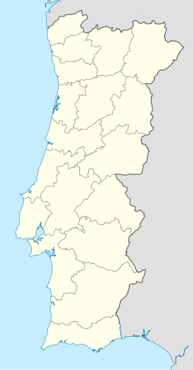
 Serra do Bouro
