- Sataniv
-
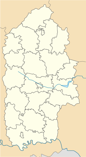
Sataniv Сатанів Géolocalisation sur la carte : Oblast de Khmelnitski

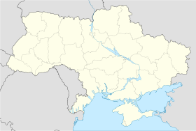
Géolocalisation sur la carte : Ukraine
Coordonnées : Pays  Ukraine
Subdivision  Oblast de Khmelnitski
Raïon  Horodok
Première mention 1404 Statut Commune urbaine depuis 1938 Population  2 420 hab. (2010)
Densité 1 260 hab./km² Superficie 1,92 km2 Indicatif tél. +380 3851 Code postal 32034 Liste des villes d'Ukraine | Carte Sataniv (en ukrainien : Сатанів) ou Satanov (en russe : Сатанoв ; en polonais : Satanów) est une commune urbaine de l'oblast de Khmelnytskyï, dans l'ouest de l'Ukraine. Sa population s'élevait à 2 424 habitants en 2010.
Sommaire
Géographie
Sataniv est arrosée par la rivière Zbroutch et se trouve à 56 km au sud-ouest de Khmelnytskyï.
Histoire
La date d'établissement de la localité est inconnue. Le village est mentionné pour la première fois en 1404 et il reçut l'autonomie urbaine (droit de Magdebourg) en 1641. La localité obtient le statut de commune urbaine en 1938.
Population
Recensements (*) ou estimations de la population [1] :
Évolution démographique 2001* 2006 2007 2008 2009 2010 2 609 2 480 2 482 2 450 2 422 2 420 Économie
La ville est un important centre thermal et plusieurs sanatoriums y sont implantés.
Notes et références
- (uk) Office des statistiques d'Ukraine : Статистичний збірник «Чисельність наявного населення України на 1 січня 2008 року» [Manuel statistique « Nombre d'habitants de l'Ukraine au 1er janvier 2008 »]. [1] ; Статистичний збірник «Чисельність наявного населення України на 1 січня 2010 року» [Manuel statistique « Nombre d'habitants de l'Ukraine au 1er janvier 2010 »]. [2]
Liens externes
- (uk) Informations officielles
- (ru) Cartes topographiques
- (ru) Carte routière
Catégories :- Commune urbaine d'Ukraine
- Commune urbaine de l'oblast de Khmelnytskyï
- Station thermale ukrainienne


Wikimedia Foundation. 2010.