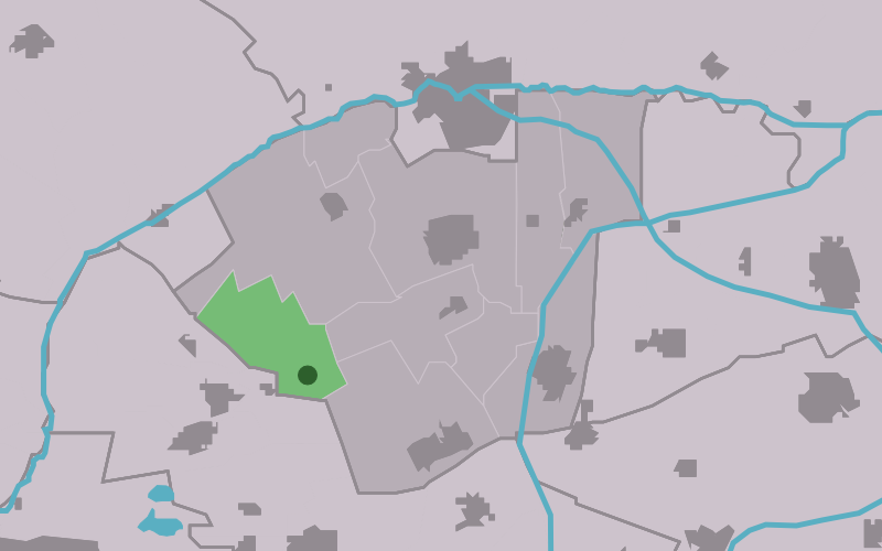
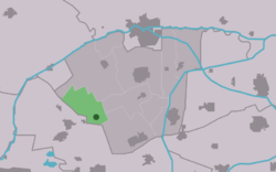
Roodkerk
Contenu soumis à la licence CC-BY-SA. Source : Article Roodkerk de Wikipédia en français (auteurs)
Regardez d'autres dictionnaires:
Roodkerk — Infobox Settlement official name = Roodkerk mapsize = 280px subdivision type = Country subdivision name = flagicon|Netherlands Netherlands subdivision type1 = Province subdivision name1 = flagicon|Friesland Friesland settlement type = Village… … Wikipedia
Ale de Boer — Infobox Football biography playername= Ale de Boer dateofbirth = August 28, 1987 cityofbirth = Roodkerk countryofbirth = Netherlands height = currentclub = SC Cambuur clubnumber = position = DefenderAle de Boer (born August 28, 1987 in Roodkerk)… … Wikipedia
De Mearmin, Dokkum — De Mearmin, November 2010 Origin Mill name De Mearmin Geestermermeermolen Mill location … Wikipedia
Kinderdijk — Coordinates: 51°53′N 4°38′E / 51.883°N 4.633°E / 51.883; 4.633 … Wikipedia
List of places in the Netherlands — This is an alphabetical list of places (cities, towns, villages) in the Netherlands. Lists per province can be found at:* List of towns in Groningen * List of towns in Friesland * List of towns in Drente * List of towns in Overijssel * List of… … Wikipedia
De Adriaan, Haarlem — Windmill De Adriaan De Adriaan is a windmill in the Netherlands that burnt down in 1932 and was rebuilt in 2002. The original windmill dates from 1779 and the mill has been a distinctive part of the skyline of Haarlem for centuries. Contents … Wikipedia
Damwoude — Gemeinde Dantumadiel Flagge Wappen Provinz … Deutsch Wikipedia
Dantumadeel — Gemeinde Dantumadiel Flagge Wappen Provinz … Deutsch Wikipedia
Dantumadiel — Gemeinde Dantumadiel Flagge Wappen Provinz Friesland Bürgermeiste … Deutsch Wikipedia
Readtsjerk — 53°15′21″N 5°55′59″E / 53.25583, 5.93306 … Wikipédia en Français
 Pays-Bas
 Portail des Pays-Bas