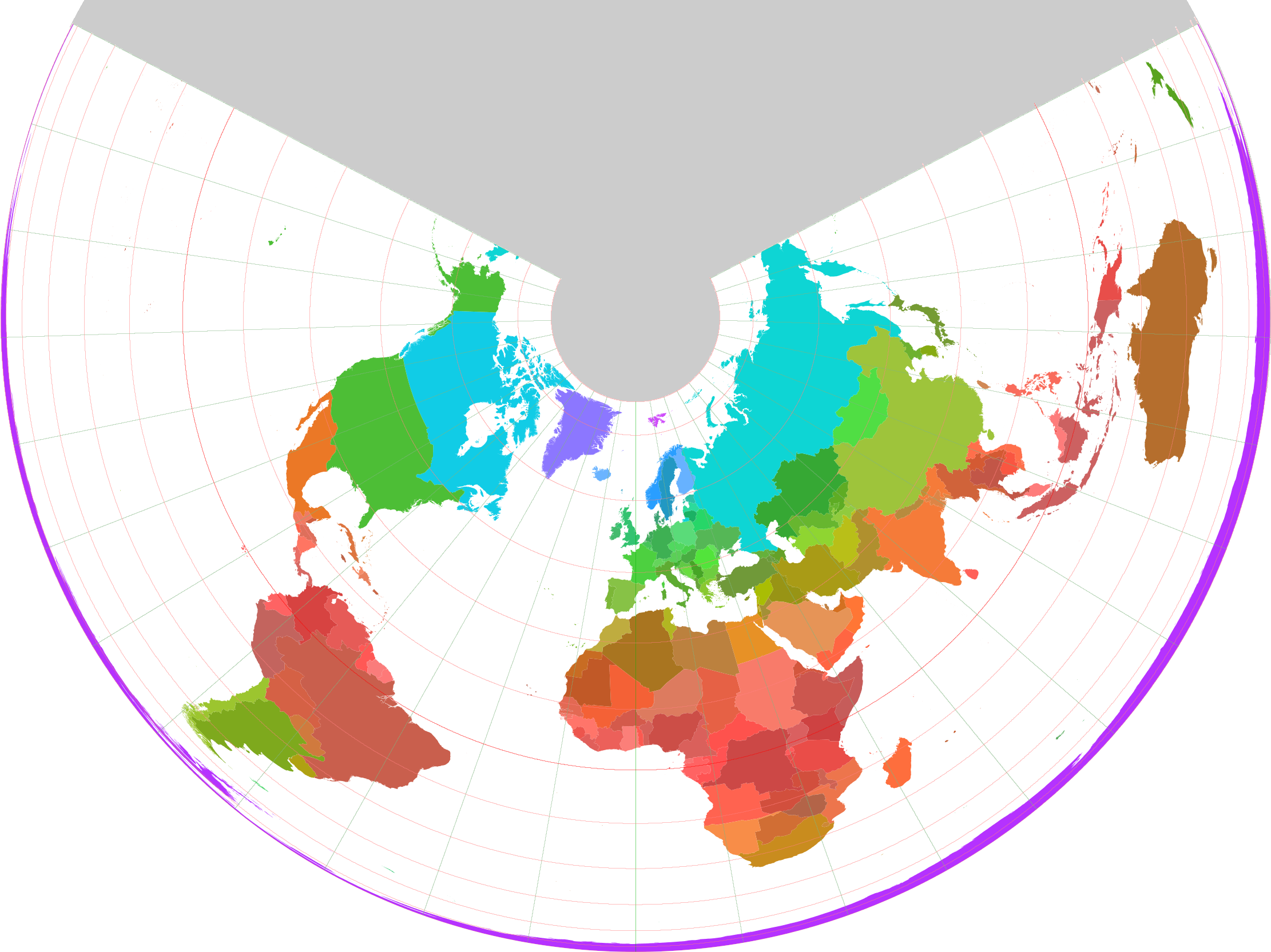
Projection d'Albers
Contenu soumis à la licence CC-BY-SA. Source : Article Projection d'Albers de Wikipédia en français (auteurs)
Regardez d'autres dictionnaires:
Projection conforme — Projection cartographique Le choix d une projection et la conversion d une projection à une autre comptent parmi les difficultés que les cartographes ont dû affronter. L informatique leur a beaucoup apporté de ce point de vue La projection… … Wikipédia en Français
Albers projection — The Albers equal area conic projection, or Albers projection, is a conic, equal area map projection that uses two standard parallels. Although scale and shape are not preserved, distortion is minimal between the standard parallels.The Albers… … Wikipedia
Projection cartographique — Le choix d une projection et la conversion d une projection à une autre comptent parmi les difficultés que les cartographes ont dû affronter. L informatique leur a beaucoup apporté de ce point de vue. La projection cartographique est un ensemble… … Wikipédia en Français
Albers — may refer to:;People *Anni Albers (1899 1994), German American textile artist and printmaker *Christijan Albers (born 1979), Dutch racing driver *Detlev Albers (born 1943), German professor and politician *Diana Albers, American comic book… … Wikipedia
Systèmes de projection géographique — Projection cartographique Le choix d une projection et la conversion d une projection à une autre comptent parmi les difficultés que les cartographes ont dû affronter. L informatique leur a beaucoup apporté de ce point de vue La projection… … Wikipédia en Français
albers projection — ˈälbə(r)z , )s noun Usage: usually capitalized A Etymology: after Heinrich C. Albers died 1833 German cartographer : an equal area projection with straight line meridians and two standard parallels of true scale … Useful english dictionary
Map projection — A medieval depiction of the Ecumene (1482, Johannes Schnitzer, engraver), constructed after the coordinates in Ptolemy s Geography and using his second map projection A map projection is any method of representing the surface of a sphere or other … Wikipedia
Проекция Альберса — … Википедия
History of cartography — The Fra Mauro map, one of the greatest memorial of medieval cartography, was made around 1450 by the Venetian monk Fra Mauro. It is a circular world map drawn on parchment and set in a wooden frame, about two meters in diameter Cartography (from… … Wikipedia
World map — This article is about maps of the Earth. For other uses, see World map (disambiguation). Historical map of the world by Ortelius, 1570 CE A world map is a map of the surface of the Earth, which may be made using any of a number of different map… … Wikipedia
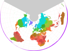 Le monde selon la projection d'Albers