- Podlokanj
-
Podlokanj
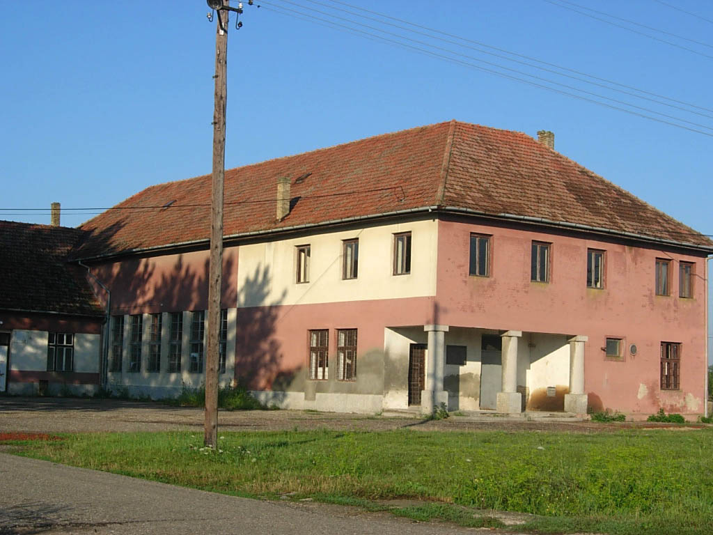
Подлокањ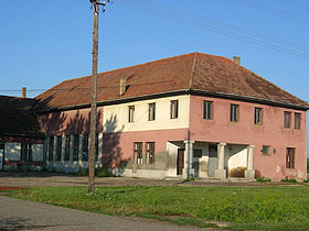 Le centre du village de Podlokanj
Administration Pays  Serbie
Province Voïvodine Région Banat serbe District Banat septentrional Municipalité Novi Kneževac Géographie Coordonnées Altitude 72 m Superficie 7 400 ha = 74,0 km2 Démographie Population 217 hab. (2002) Densité 2,9 hab./km2 Localisation 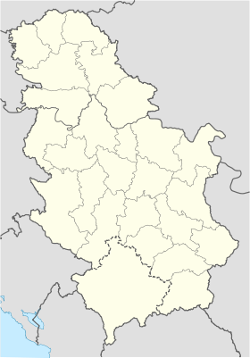
 Podlokanj
Podlokanj (en serbe cyrillique : Подлокањ ; en hongrois : Podolkány) est un village de Serbie situé dans la province autonome de Voïvodine. Il fait partie de la municipalité de Novi Kneževac dans le district du Banat septentrional. En 2002, il comptait 217 habitants[1], dont une majorité de Serbes.
Sommaire
Démographie
Évolution historique de la population
Évolution démographique 1948 1953 1961 1971 1981 1991 2002 502 501 457 331 274 172 217[1] Répartition de la population (2002)
Nationalité Nombre % Serbes 211 97,23 Yougoslaves 5 2,30 Hongrois 1 0,46[2] Notes et références
- (sr) Livre 9, Population, analyse comparative de la population en 1948, 1953, 1961, 1971, 1981, 1991 et 2002, données par localités, Institut de statistique de la République de Serbie, Belgrade, mai 2004 (ISBN 86-84433-14-9)
- (sr) Livre 1, Population, origine nationale ou ethnique, données par localités, Institut de statistique de la République de Serbie, Belgrade, février 2003 (ISBN 86-84433-00-9)
Voir aussi
Articles connexes
Liens externes
- (en) Maplandia
- (en) Vue satellite de Podlokanj sur fallingrain.com
Catégorie :- Localité de Novi Kneževac

Wikimedia Foundation. 2010.