Panaitan
- Panaitan
-
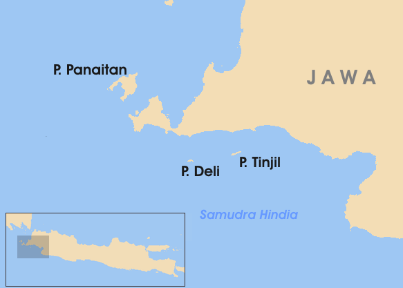
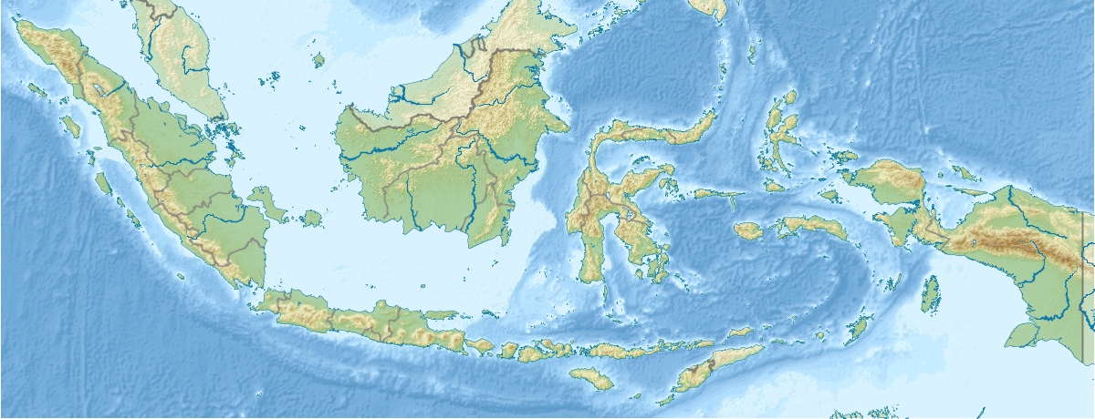
Panaitan est une île de l'océan Indien située à environ 10 km au large de la presqu'île d'Ujung Kulon à l'extrémité occidentale de l'île de Java en Indonésie. Elle fait partie du parc national d'Ujung Kulon.
Administrativement, l'île fait partie du kabupaten de Pandeglang dans la province de Banten.
Histoire
On a trouvé des statues de Ganesha et de Shiva au sommet du mont Raksa. On estime qu'elles datent du Ier siècle après J.-C.
On pense que Panaitan était une escale pour les bateaux qui empruntaient le détroit de la Sonde[1]. James Cook y a jeté l'ancre du 6 au 16 janvier 1771.
Les Hollandais appelaient l'île Princen Eiland, "l'île au Prince".
Tourisme

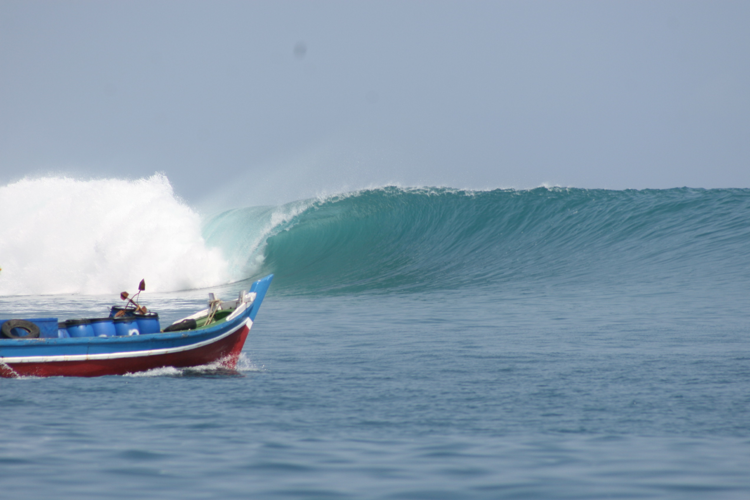
Le spot de One Palm Point à Panaitan
Panaitan fait partie du parc national d'Ujung Kulon.
L'île est un spot de surf. L'île serait menacée par l'installation d'un camp par un opérateur peu scrupuleux[2].
Notes et références
Voir aussi
Wikimedia Foundation.
2010.
Contenu soumis à la licence CC-BY-SA. Source : Article Panaitan de Wikipédia en français (auteurs)
Regardez d'autres dictionnaires:
Panaitan — Vorlage:Infobox Insel/Wartung/Bild fehlt Panaitan Gewässer Sundastraße Geographische Lage … Deutsch Wikipedia
Ujung Kulon — Südküste im Ujung Kulon N.P … Deutsch Wikipedia
Estrecho de la Sonda — Saltar a navegación, búsqueda Estrecho de la Sonda (Selat Sunda) Vista del estrecho de la Sonda Localizac … Wikipedia Español
Острова Индонезии — Это служебный список ст … Википедия
Список островов Индонезии — Проверить информацию. Необходимо проверить точность фактов и достоверность сведений, изложенных в этой статье. На странице обсуждения должны быть пояснения … Википедия
History of Indonesia — Indonesia is an archipelagic country of 17,508 islands (6,000 inhabited) stretching along the equator in South East Asia. The country s strategic sea lane position fostered inter island and international trade; trade has since fundamentally… … Wikipedia
Islands of Indonesia — Indonesia comprises 17,508 islands (based from Seminar Nasional Penetapan Nama Pulau pulau Kecil Dalam Presektif Sejarah or National Seminary of Name For Little Islands From History Side , July 16 to 18 at Palembang, South Sumatra, Indonesia, now … Wikipedia
Sunda Strait — The Sunda Strait (Indonesian: Selat Sunda ) is the strait between the Indonesian Islands of Java and the island of Sumatra. It connects the Java Sea to the Indian Ocean. The name comes from the Indonesian term Pasundan , West Java . [ Sunda… … Wikipedia
Gonyosoma oxycephalum — Taxobox | name = Red tailed Green Ratsnake image caption = 2 Red Tailed Green Ratsnakes regnum = Animalia phylum = Chordata classis = Reptilia ordo = Squamata subordo = Serpentes familia = Colubridae genus = Gonyosoma species = G. oxycephalum… … Wikipedia
Pandeglang Regency — Pandeglang is a regency of Banten province, Indonesia. It has an area of 2,747 km² and a population of 1,100,911 (in 2005). The regency includes islands such as Panaitan, Deli and Tinjil. The capital is the town of Pandeglang.The regency is… … Wikipedia

 Indonésie
 Panaitan