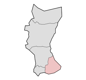
Overdinkel
Contenu soumis à la licence CC-BY-SA. Source : Article Overdinkel de Wikipédia en français (auteurs)
Regardez d'autres dictionnaires:
Overdinkel — Römisch katholische Kirche in Overdinkel Overdinkel ist eine Ortschaft in der Gemeinde Losser in der niederländischen Provinz Overijssel. Inhaltsverzeichnis 1 … Deutsch Wikipedia
Gronau (Westf.) — Wappen Deutschlandkarte … Deutsch Wikipedia
Gronau (Westfalen) — Wappen Deutschlandkarte … Deutsch Wikipedia
Losser — Infobox Settlement official name = Losser mapsize = 280px subdivision type = Country subdivision name = Netherlands subdivision type1 = Province subdivision name1 = Overijssel area footnotes = (2006) area total km2 = 99.64 area land km2 = 98.95… … Wikipedia
List of places in the Netherlands — This is an alphabetical list of places (cities, towns, villages) in the Netherlands. Lists per province can be found at:* List of towns in Groningen * List of towns in Friesland * List of towns in Drente * List of towns in Overijssel * List of… … Wikipedia
Twente — (or Twenthe) is a non administrative region in the eastern Netherlands, probably named after the Tuihanti, a tribe that settled in that region in the beginning of our era.Twente contains the most urbanised and easterly part of the province of… … Wikipedia
Moniek Nijhuis — Personal information Full name Moniek Nijhuis Nationality Netherlands Born March 20, 1988 … Wikipedia
Losser — Gemeinde Losser Flagge Wappen Provinz Overijssel Bürgermeister … Deutsch Wikipedia
Beuningen (Overijssel) — 52°21′31″N 6°59′56″E / 52.35861, 6.99889 … Wikipédia en Français
De Lutte — 52°18′46″N 6°59′30″E / 52.31278, 6.99167 … Wikipédia en Français
 Pays-Bas