Numurkah
- Numurkah
-
Numurkah (4 643 habitants) est une ville du Victoria, en Australie, située sur la Goulburn Valley Highway, à 37 kilomètres au nord de Shepparton, à 228 km au nord de Melbourne dans le Comté de Moira. Au recensement de 2006, Numurkah avait une population de 4643 habitants. La région était occupée par les aborigènes Yorta Yorta avant la colonisation par les Européens. Les squatters arrivèrent dans la région venant de Nouvelle-Galles du Sud à la fin des années 1830 et la commune de Numurkah fut fondée en 1875 et la poste ouverte le 2 novembre 1878.
La ville accueille un spectacle d'art en mars, un concours de pêche en avril, un championnat de go-kart en septembre et une exposition de voitures en décembre.
Wikimedia Foundation.
2010.
Contenu soumis à la licence CC-BY-SA. Source : Article Numurkah de Wikipédia en français (auteurs)
Regardez d'autres dictionnaires:
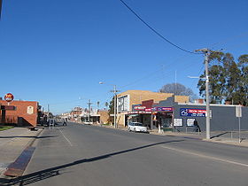
Numurkah, Victoria — Numurkah Victoria Melville St, the main street of Numurkah … Wikipedia
Numurkah Football Club — Numurkah Full name Numurkah Football Club Nickname(s) Blues Strip Navy Blue with a White emblem Sport Australian rules football League Murray Football League Ground … Wikipedia
Numurkah railway station — Numurkah Looking south, platform to the right Station information Line Goulburn Valley Distance from … Wikipedia
Numurkah railway station, Victoria — VictorianClosedRailwayStation NAME=Numurkah IMAGELINK=Numurkah station overview.jpg CAPTION=Looking south, platform to the right LINE=Goulburn Valley DISTANCE=215.2 km PLATFORMS=1 TRACKS=1 STATUS=Closed OPENED=1881 CLOSED= Numurkah is a closed… … Wikipedia
Shire of Numurkah — Infobox Australian Place | type = lga name = Shire of Numurkah state = vic region = area = 820 est = 1957 seat = Numurkah pop = 7170 (1992) [cite book|title=Victorian Year Book|author=Australian Bureau of Statistics, Victoria… … Wikipedia
Electoral district of Numurkah and Nathalia — The Electoral district of Numurkah and Nathalia was an electoral district of the Victorian Legislative Assembly. Members of Numurkah and Nathaliaee also*Parliaments of the Australian states and territories *List of members of the Victorian… … Wikipedia
Murray Football League — General Information Founded 1931 Current clubs Barooga Cobram Congupna Deniliquin Echuca United Finley Moama Mulwala Nathalia Numurkah … Wikipedia
Shire of Nathalia — Infobox Australian Place | type = lga name = Shire of Nathalia state = vic region = area = 1238.97 est = 1879 seat = Nathalia pop = 3520 (1992) [cite book|title=Victorian Year Book|author=Australian Bureau of Statistics, Victoria… … Wikipedia
North Eastern Soccer League — Goulburn North East Football Association is an association football (soccer) competition in Shepparton, Victoria. It was known as the North Eastern Soccer League from the competition s inception in 1971 until February 2009. Ten clubs participate… … Wikipedia
Murray Valley Highway — Murray Valley Highway … Wikipedia
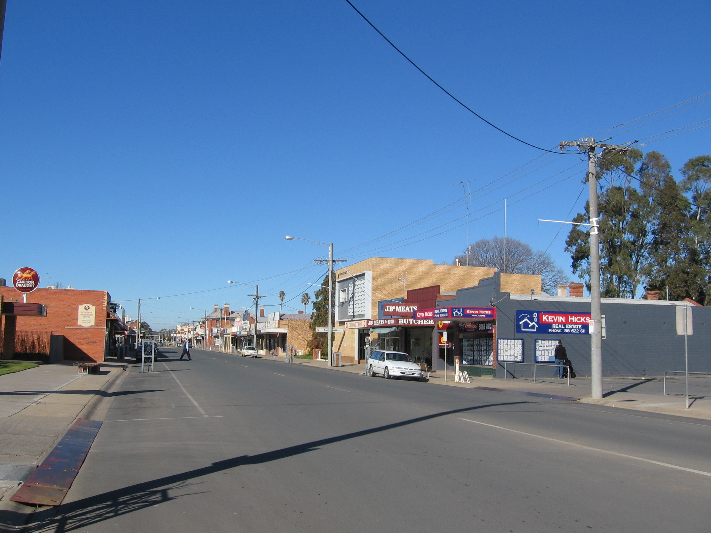
 La grand rue de Numurkah
 Australie