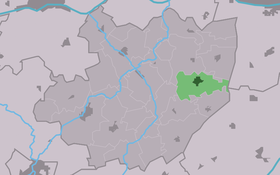
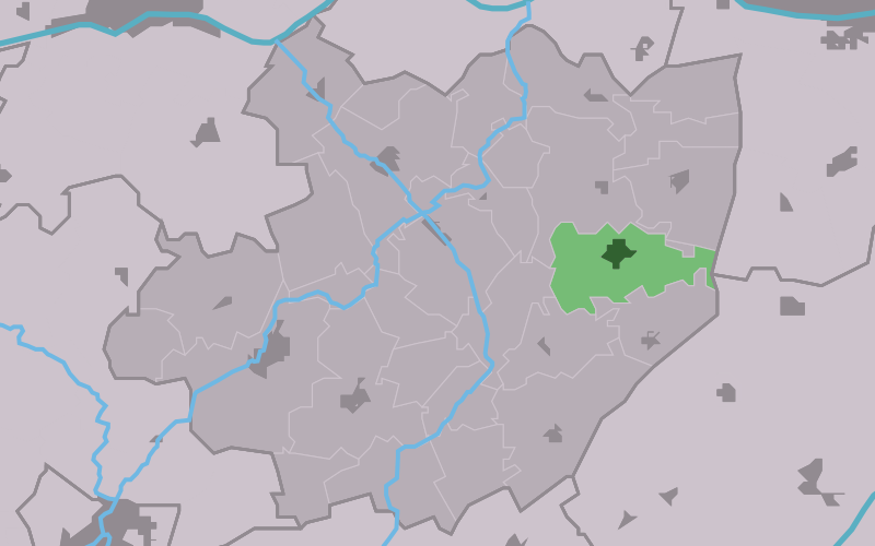
Mantgum
Contenu soumis à la licence CC-BY-SA. Source : Article Mantgum de Wikipédia en français (auteurs)
Regardez d'autres dictionnaires:
Mantgum — Village Coat of arms … Wikipedia
Mantgum — Original name in latin Mantgum Name in other language State code NL Continent/City Europe/Amsterdam longitude 53.12865 latitude 5.71924 altitude 3 Population 1141 Date 2008 01 24 … Cities with a population over 1000 database
Mantgum railway station — Mantgum Station statistics Coordinates … Wikipedia
Lyts Kanaän — (Mantgum,Нидерланды) Категория отеля: Адрес: Seerp van Galemawei 17, 9022 AC Mantgum, Нидерланды … Каталог отелей
Dutch railway services — is an index page of all the rail services operated in the Netherlands. Railway services in the Netherlands are operated by the following operators (see also rail transport operators in the Netherlands): Nederlandse Spoorwegen Syntus Arriva Veolia … Wikipedia
Liste neuer Bahnhöfe in den Niederlanden — Die Nederlandse Spoorwegen führten 1970/71 unter dem Namen „Spoorslag 70“ einen Knotenpunktfahrplan ein.[1][2] Damit war der Aus und Neubau zahlreicher Bahnhöfe verbunden. Diese Liste enthält die seit 1970 in den Niederlanden neu eröffneten… … Deutsch Wikipedia
Littenseradiel — Infobox Settlement official name = Littenseradiel image seal size = 70px mapsize = 280px subdivision type = Country subdivision name = Netherlands subdivision type1 = Province subdivision name1 = Friesland area footnotes = (2006) area total km2 … Wikipedia
Railway stations in the Netherlands — Railways in the Netherlands There are 392 railway stations in the Netherlands, including 5 railway stations which are only served during events, 1 which exists only to facilitate pilgrimage to a nearby site and 1 which exists only to facilitate… … Wikipedia
List of places in the Netherlands — This is an alphabetical list of places (cities, towns, villages) in the Netherlands. Lists per province can be found at:* List of towns in Groningen * List of towns in Friesland * List of towns in Drente * List of towns in Overijssel * List of… … Wikipedia
Baarderadeel — is a former municipality in the Dutch province of Friesland, southwest of Leeuwarden. Since 1984, the area has been a part of the municipality of Littenseradiel.Some of the larger villages in Baarderadeel are Winsum, Mantgum, and… … Wikipedia
 Pays-Bas