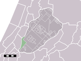
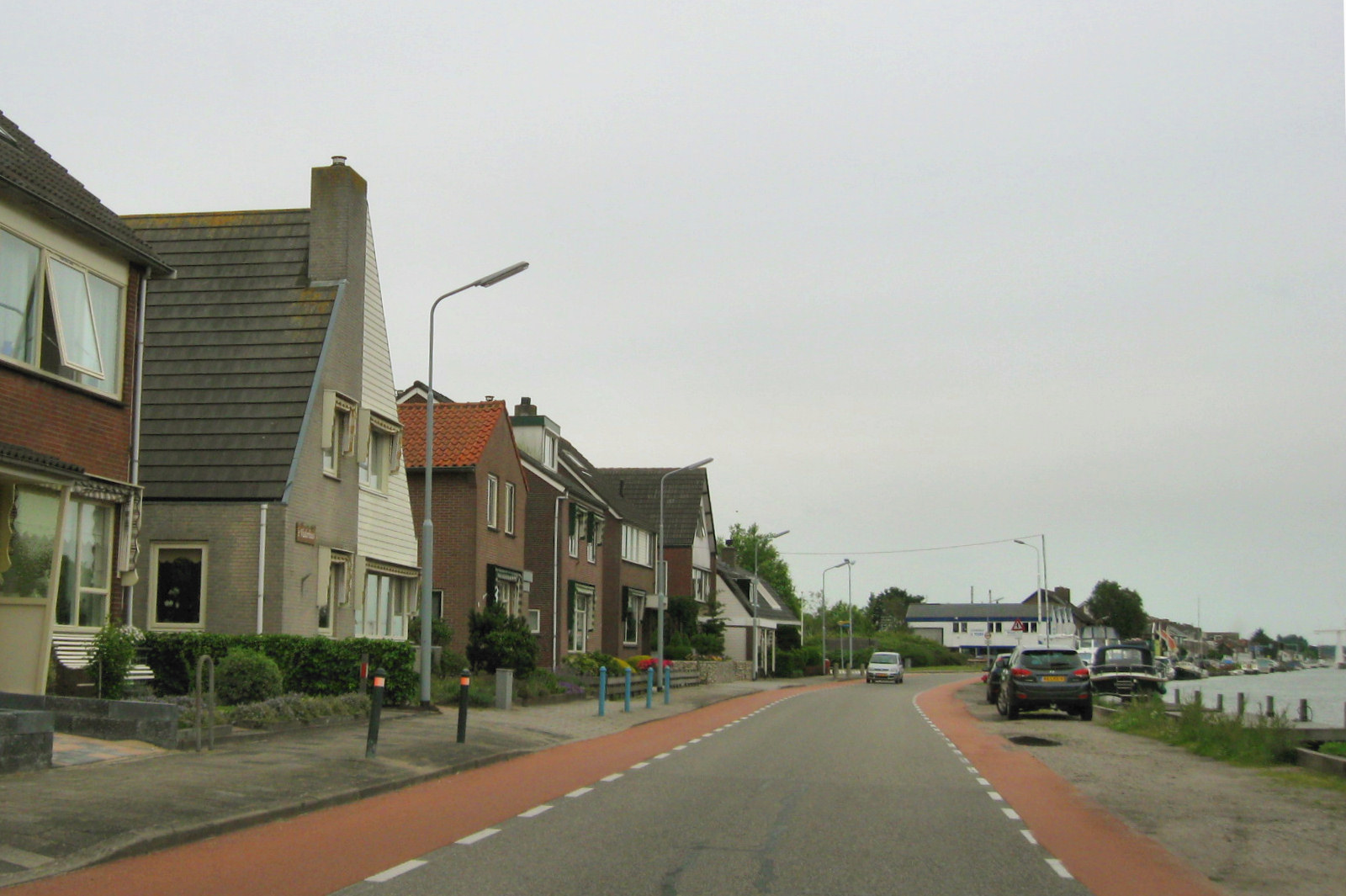
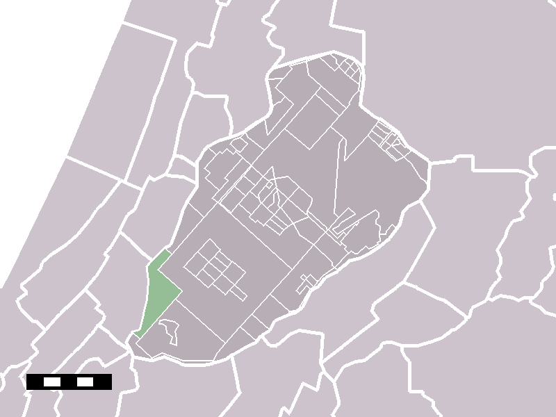
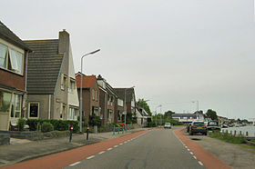
Lisserbroek
Contenu soumis à la licence CC-BY-SA. Source : Article Lisserbroek de Wikipédia en français (auteurs)
Regardez d'autres dictionnaires:
Lisserbroek — Dutch town locator maps mun town caption = Lisserbroek in the municipality of Haarlemmermeer.Lisserbroek (coord|52|15|N|4|34|E|type:city(3600)) is a town in the Dutch province of North Holland. It is a part of the municipality of Haarlemmermeer,… … Wikipedia
Haarlemmermeer — Héraldique … Wikipédia en Français
Haarlemmermeer — Infobox Settlement official name = Haarlemmermeer imagesize = 230px image caption = Beursplein in Hoofddorp flag size = 120x100px image shield = Haarlemmermeer wapen.png shield size = 120x100px mapsize = 280px subdivision type = Country… … Wikipedia
Nieuw-Vennep — The town of Nieuw Vennep in the municipality of Haarlemmermeer … Wikipedia
List of places in the Netherlands — This is an alphabetical list of places (cities, towns, villages) in the Netherlands. Lists per province can be found at:* List of towns in Groningen * List of towns in Friesland * List of towns in Drente * List of towns in Overijssel * List of… … Wikipedia
Ringvaart — The Ringvaart (known in full as Ringvaart of the Haarlemmermeer Polder) is a canal in the province of North Holland, the Netherlands. The Ringvaart (Dutch meaning ring canal ) is a true circular canal surrounding the Haarlemmermeer polder and… … Wikipedia
Nieuwe Meer — in the municipality of Haarlemmermeer … Wikipedia
Oude Meer — Hamlet … Wikipedia
Duin- en Bollenstreek — 1645 map of the area (before it was known as the Duin en Bollenstreek) The Duin en Bollenstreek (Dutch for Dune and Bulb Region ) is a region in South Holland, The Netherlands, that features coastal dunes and the cultivation of flower bulbs.… … Wikipedia
Bollenstreek — The Bollenstreek (Dutch for Bulb Region ) is a region in the Netherlands consisting of areas in North and South Holland that feature the cultivation of flower bulbs. The colourful flower fields that have come to symbolise Holland can be seen in… … Wikipedia
 Pays-Bas