Lake Wissota Village
Contenu soumis à la licence CC-BY-SA. Source : Article Lake Wissota Village de Wikipédia en français (auteurs)
Regardez d'autres dictionnaires:
Lake Wissota — Infobox lake lake name = Lake Wissota image lake = LakeWissota1.jpg caption lake = from the northeast shore at sunset image bathymetry = caption bathymetry = location = Chippewa County, Wisconsin coords =… … Wikipedia
Lake Wissota, Wisconsin — Infobox Settlement official name = Lake Wissota, Wisconsin settlement type = CDP nickname = motto = imagesize = image caption = image mapsize = 250px map caption = Location of Lake Wissota, Wisconsin mapsize1 = map caption1 = subdivision type =… … Wikipedia
Lac Wissota — Administration Pays … Wikipédia en Français
Lafayette (Wisconsin) — 44° 55′ 30″ N 91° 17′ 57″ W / 44.925, 91.2992 … Wikipédia en Français
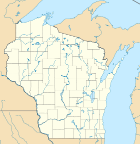
Chippewa County, Wisconsin — Location in the state of Wisconsin … Wikipedia
Eau Claire — County map of Wisconsin, highlighting the Eau Claire Chippewa Falls metropolitan area. The light blue area covers the remainder of Eau Claire County to the southeast (including Drammen to the southwest) and Chippewa County to the northeast.… … Wikipedia
Chippewa Falls, Wisconsin — City Bridge Street, downtown Chippewa Falls … Wikipedia
List of dams and reservoirs in the United States — This list is incomplete; you can help by expanding it. The following is a partial list of dams and reservoirs in the United States. There are an estimated 75,000 dams in the United States, impounding 600,000 mi (970,000 km) of river or about 17%… … Wikipedia
New Auburn, Wisconsin — Village Location of New Auburn, Wisconsin … Wikipedia
Driftless Area National Wildlife Refuge — Coordinates: 42°41′00″N 91°07′30″W / 42.6833333°N 91.125°W / 42.6833333; 91.125 … Wikipedia
 États-Unis
 Wisconsin