- Krapanj
-
Krapanj Géographie Pays  Croatie
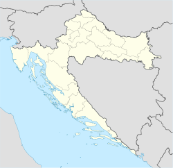
Coordonnées Superficie 0,36 km2 Point culminant 1,5 m Administration CroatieComitat Comitat de Šibenik-Knin Municipalité Šibenik Démographie Population 237 hab. (2001) Densité 658,33 hab./km2 Plus grande ville Krapanj Autres informations Fuseau horaire GMT+1 Site officiel krapanj.com Géolocalisation sur la carte : Croatie
 Krapanj
Catégorie:Île de Croatie Krapanj est un village et une île de Croatie située en Dalmatie, dans la municipalité de Šibenik, comitat de Šibenik-Knin. Au recensement de 2001, la localité comptait 237 habitants[1]. Avec ses 0,36 km²[2], Krapanj est la plus petite des îles habitées de Croatie ; c'est aussi la plus densément peuplée avec une densité de population de 658,33 hab./km². Krapanj est distante de 300 m de la cote et de la ville de Brodarica.
Sommaire
Notes et références
- (en) Population by sex and age by settlements, census 2001 sur dzs.hr, Crostat - Bureau central de statistiques. Consulté le 7 juillet 2008
- The Brodarica - Krapanj Tourist Board. Consulté le 2006-10-02
Voir aussi
Articles connexes
- Localité de Croatie
- Municipalité de Croatie
- îles de Croatie
Liens externes
Catégories :- Localité de Croatie
- Île de Croatie

Wikimedia Foundation. 2010.